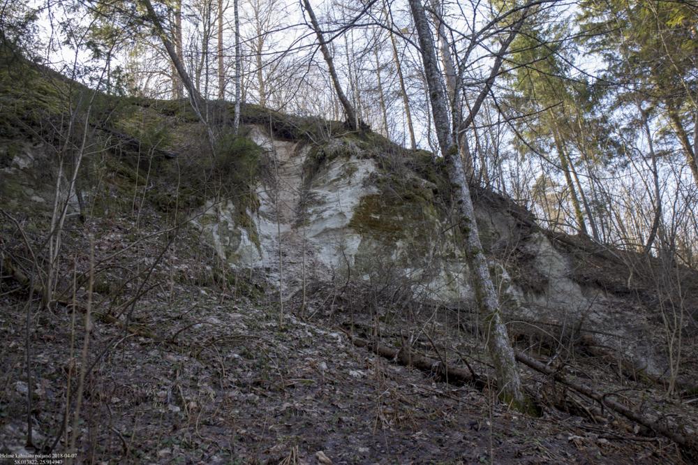
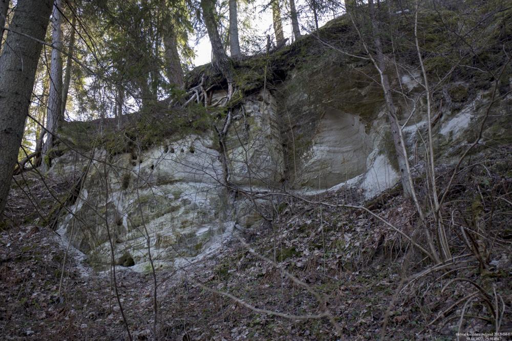
| Name | Helme cementary outcrop |
| Type | outcrop |
| Country | Estonia |
| Parish | Helme |
| Elevation | 53.50 |
| Coordinates | 58.013822, 25.914947 |
| Coordinate precision | 1-10 m |
| Coord. method | Est Land Board map server |
| Coord. agent | Paalits, I. |
| Location remarks | Helme paljand ehk Helme kalmistu paljand asub Helme surnuaia taga Helme jõe paremal kaldal Orjakivist ~200 m ülesvoolu. |
| Remarks | Ka Kõrgemäe või Kõrgekalda paljand. Raskesti ligipääsetav - tihe taimestik, järsk kallas. Paljand tähistamata. |
| Date added | 2003-09-23 |
| Date changed | 2018-04-09 |
Browse Geocollections
Partners


This site uses Matomo to analyze traffic and help us to improve your user experience. We process your IP address, viewed pages, load times and device information. This data is only processed by us.