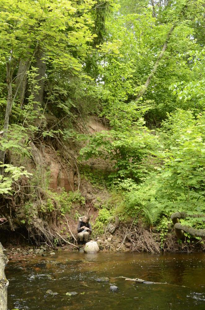
| Name | Soluveski outcrop, Viljandi County |
| Type | outcrop |
| Country | Estonia |
| Parish | Kõpu |
| Settlement | Vanaveski |
| Coordinates | 58.365197, 25.332464 |
| Coordinate precision | 1-10 m |
| Coord. method | Est Land Board map server |
| Coord. agent | Aaloe, Aasa |
| Location remarks | Soloveski pais Kõpu jõel Vanaveski külas. Soloveski veskihoone on ümber ehitatud puhketaluks. Paljand on Kõpu jõe vasakul kaldal Soloveski vastas (H.V. andmed) |
| Strat. top | Narva Stage |
| Strat. base | Narva Stage |
| Date added | 2003-09-23 |
| Date changed | 2019-02-18 |
Browse Geocollections
Partners

