
| Name | Tartu cemetery outcrop |
| Type | outcrop |
| Country | Estonia |
| Parish | TARTU |
| Depth | 7 |
| Coordinates | 58.394974, 26.711536 |
| X | 6475931 |
| Y | 658519 |
| Coordinate precision | 1-10 m |
| Coord. method | Est Land Board map server |
| Coord. agent | Kleesment |
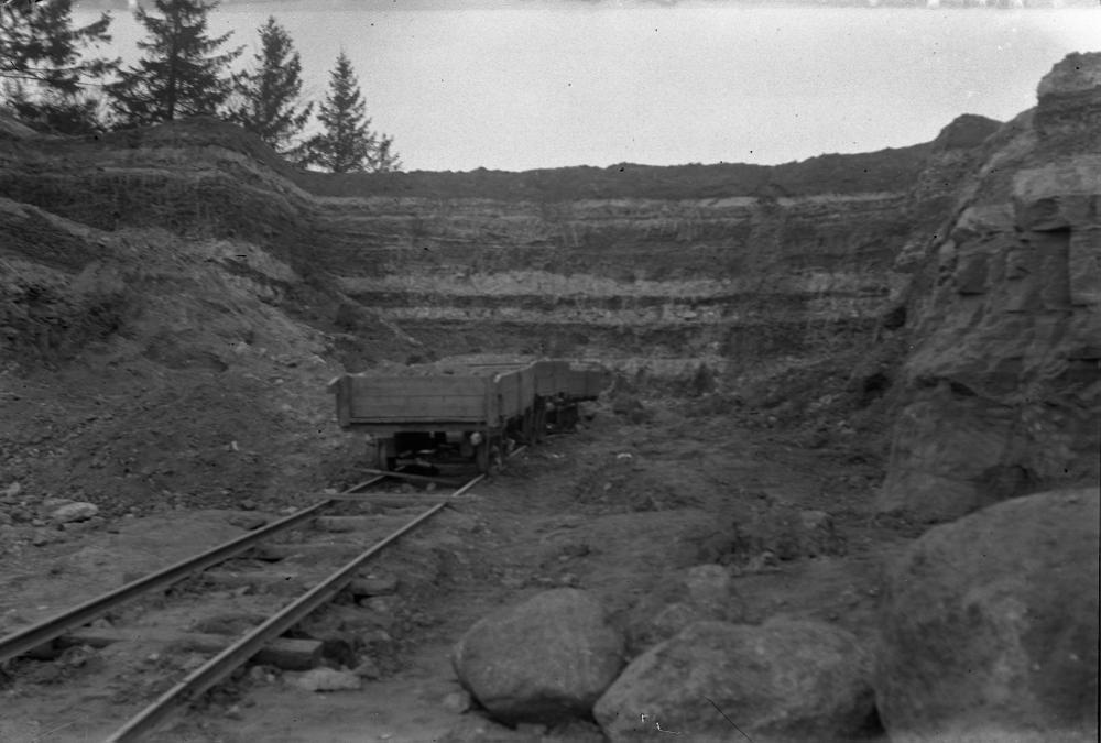
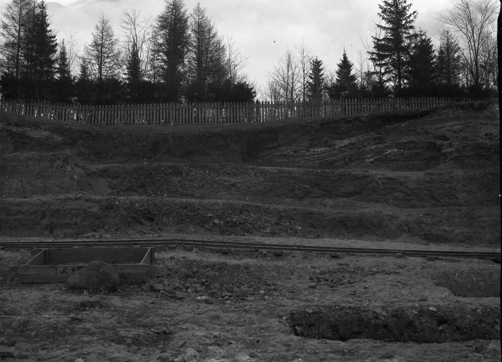
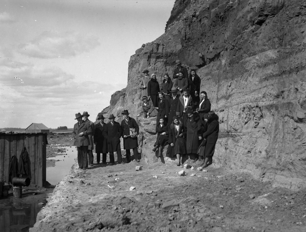
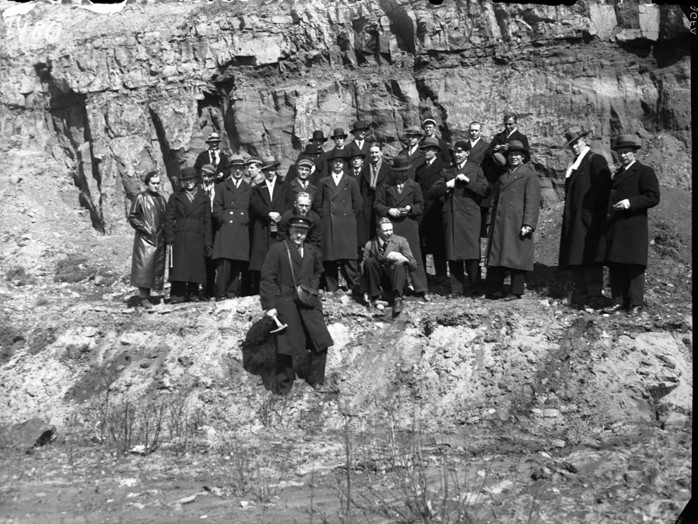
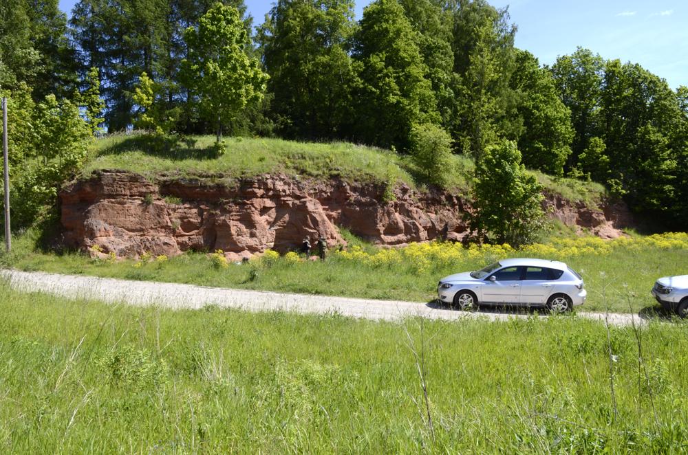
| Location remarks | Emajõe ürgoru vasakul veerul Uus-Jaani ja Vana-Peetri kalmistu all. Ujula tänav jagab paljandi kahte ossa. Koordinaadid Ujula tn otsa kohalt. Looduskaitse all 1957. a. Outcrop is situated on the left slope of the Emajõgi River valley near Uus-Jaani and Vana-Peetri cementaries. Ujula Street divides the outcrop into two parts. The coordinates are taken from the end of the Ujula Street. Under nature protection since 1957. |
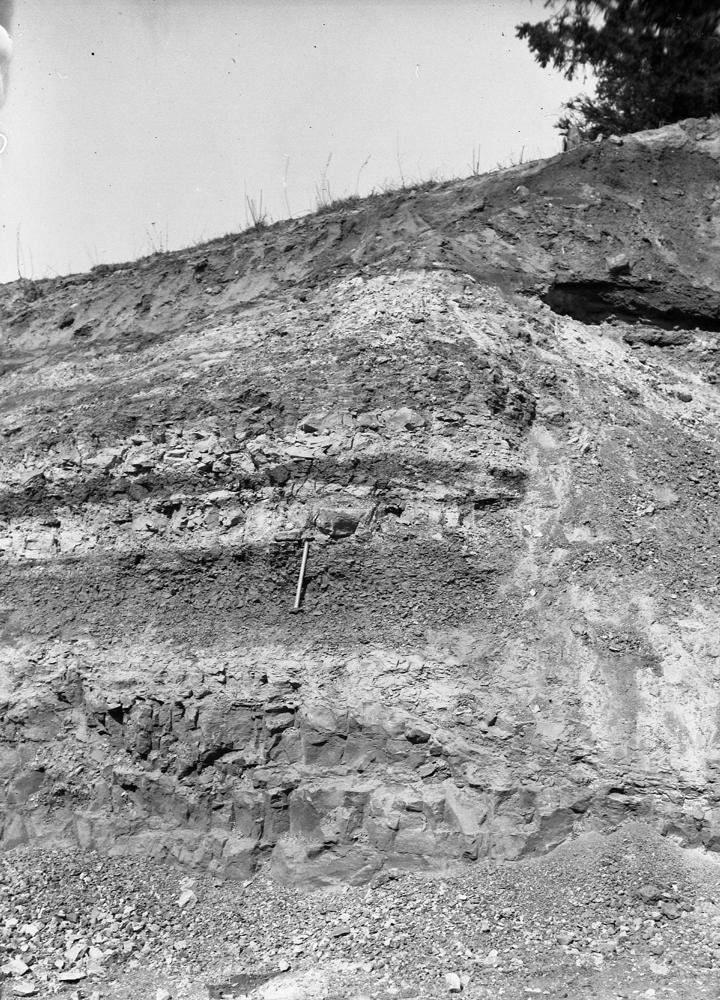
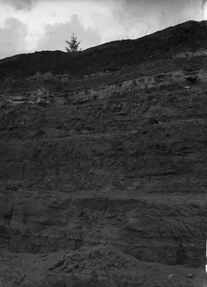
| Strat. top | Aruküla Stage |
| Strat. base | Aruküla Stage |
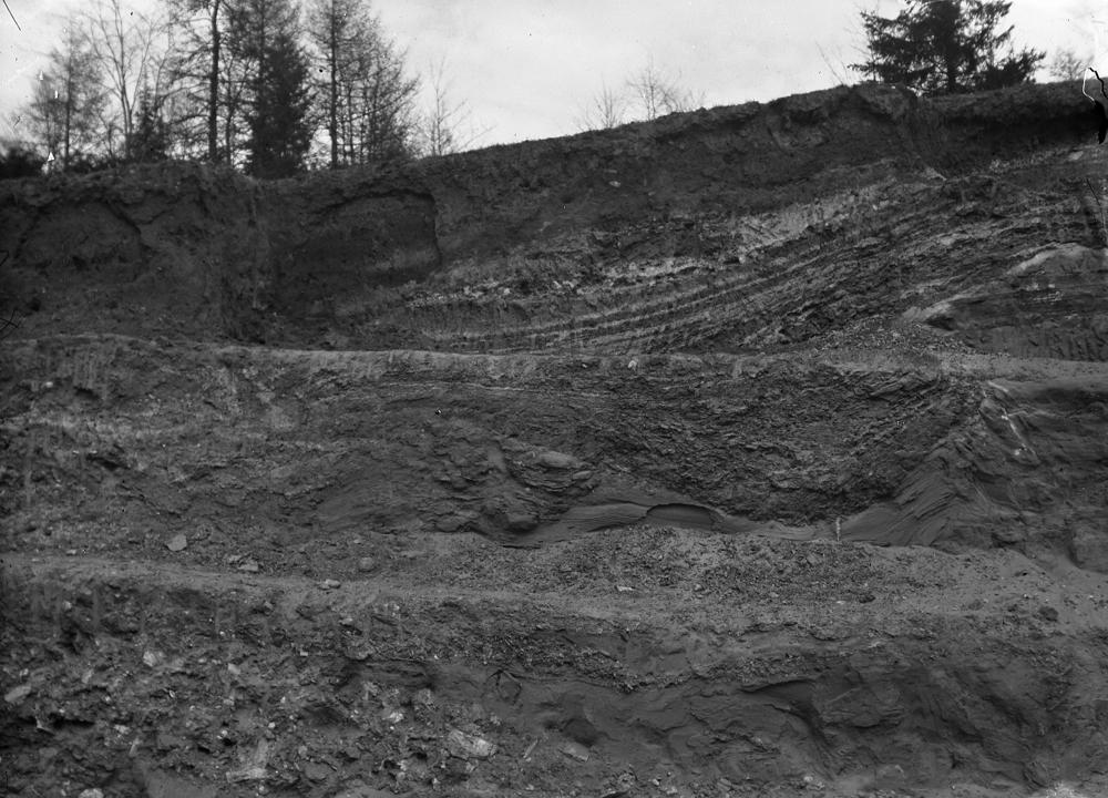
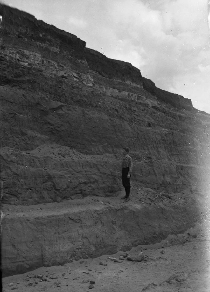
| Remarks | Kõrgem ja huvitavam 85 m pikkune ja ca 4,5 m kõrgune paljandilõik asub Ujula tänavast linna pool. Aruküla lademe tüüpläbilõige. Hea ligipääs. The higher and more interesting 85 m long and approx. 4.5 m high outcrop section is located on the city side of Ujula Street. Typical section of the Aruküla Regional Stage. Good access. |
| Date added | 2003-09-22 |
| Date changed | 2024-07-16 |
Browse Geocollections
Partners


This site uses Matomo to analyze traffic and help us to improve your user experience. We process your IP address, viewed pages, load times and device information. This data is only processed by us.