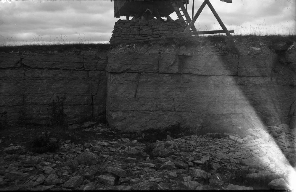
| Name | Kogula old quarry |
| Type | outcrop |
| Country | Estonia |
| Parish | Kärla |
| Settlement | Kogula |
| Coordinates | 58.291236, 22.278094 |
| Location remarks | AA. - Kogula külas lõuna pool Kihelkonna maanteed Kuressaare-Kihelkonna maantee ääres tuuliku juures |
| Strat. top | Paadla Stage |
| Strat. base | Paadla Stage |
| Remarks | pisike ja madal |
| Date added | 2003-09-16 |
| Date changed | 2020-02-11 |
Browse Geocollections
Partners


This site uses Matomo to analyze traffic and help us to improve your user experience. We process your IP address, viewed pages, load times and device information. This data is only processed by us.