
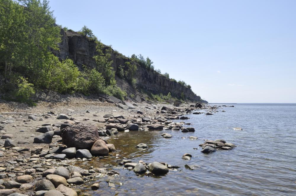
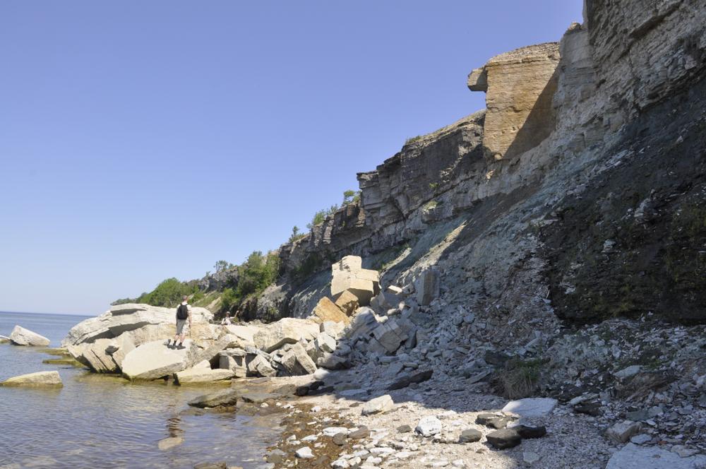


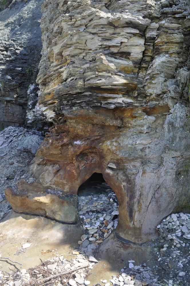
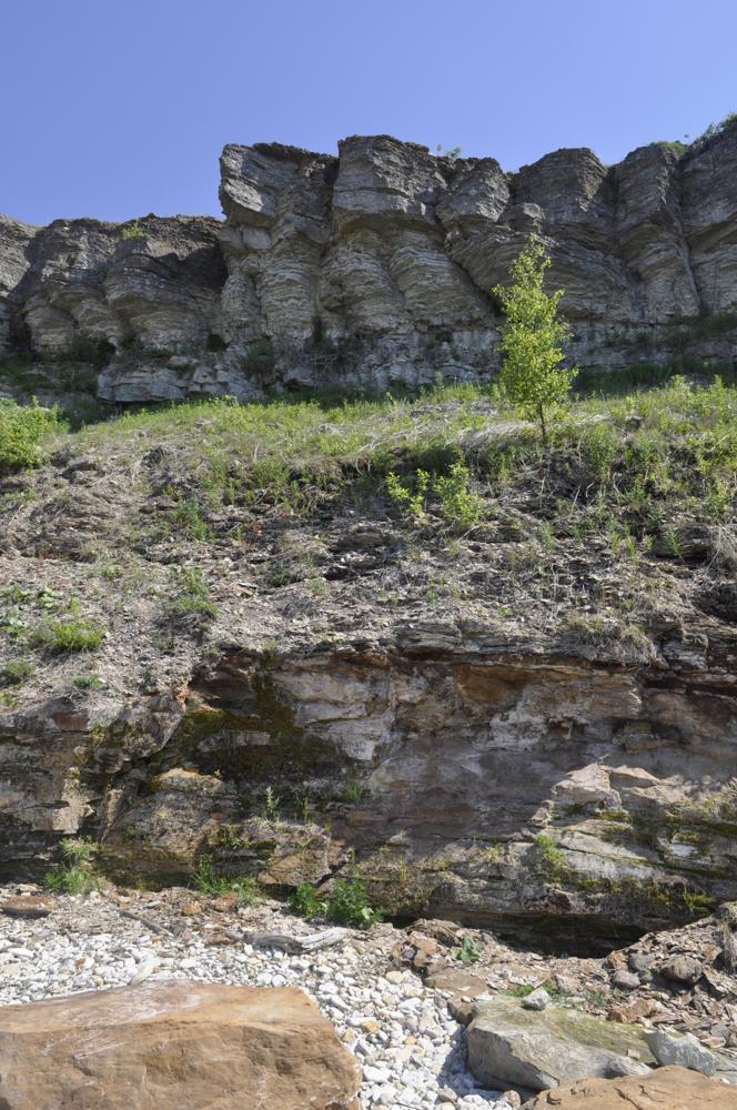
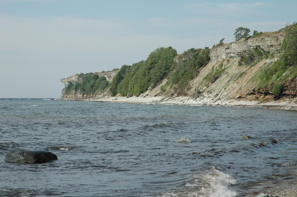

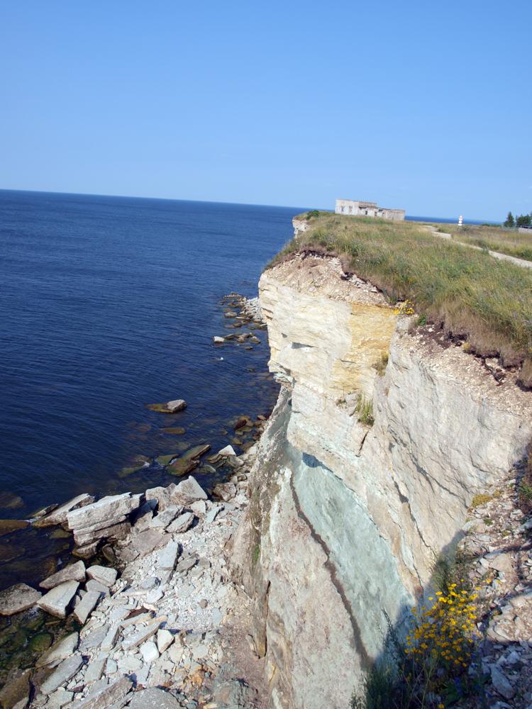
| Name | Pakerort cliff 1, Pakri peninsula |
| Type | outcrop |
| Country | Estonia |
| Parish | PALDISKI |
| Settlement | Paldiski |
| Coordinates | 59.377467, 24.036483 |
| Coordinate precision | 10-100 m |
| Coord. method | GPS |
| Coord. agent | Hints, Olle |
| Location remarks | Panga jaotus oasdeks tinglik vt. viide Nõlvak & Hints, koordinaadid mõõdetud trepist 200m N |
| Strat. top | Uhaku Stage |
| Strat. base | Lower Cambrian (old nomenclature) |
| Date added | 2003-09-15 |
| Date changed | 2024-08-19 |
Browse Geocollections
Partners


This site uses Matomo to analyze traffic and help us to improve your user experience. We process your IP address, viewed pages, load times and device information. This data is only processed by us.