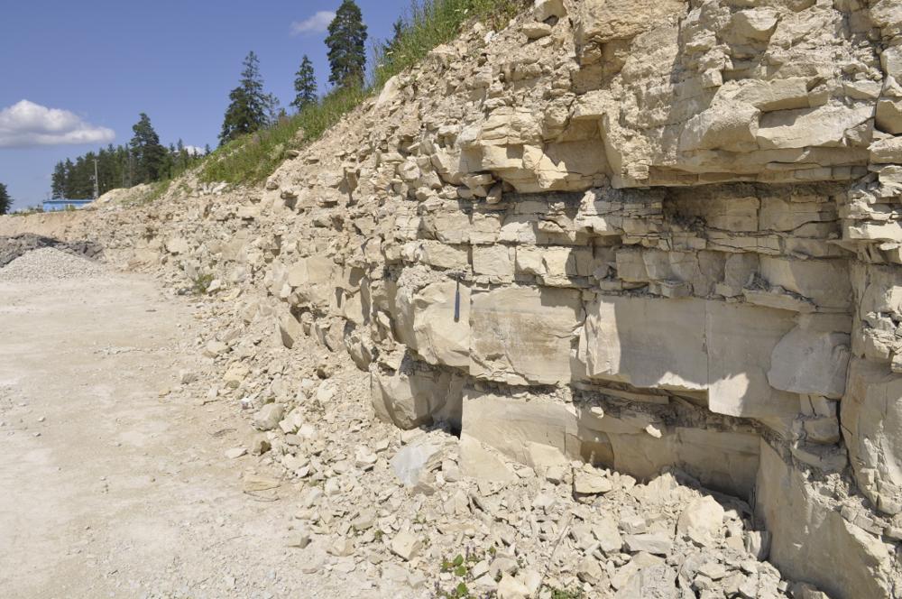
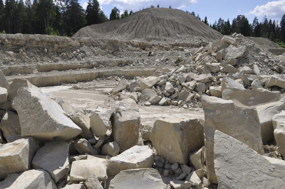
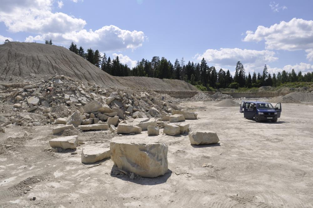
| Name | Orgita paemurd |
| Type | outcrop |
| Country | Estonia |
| Parish | Märjamaa |
| Settlement | Orgita |
| Coordinates | 58.922884, 24.470103 |
| Coordinate precision | 100-1000 m |
| Coord. method | Est Land Board map server |
| Coord. agent | Aaloe, Aasa |
| Location remarks | Märjamaalt ca 2 km põhja pool, Tln-Pärnu mnt-st idas ja Rapla teest lõuna pool |
| Strat. top | Raikküla Stage |
| Strat. base | Raikküla Stage |
| Remarks | E. Jürg. kirjeldas 1955 "Orgita murdu lasketiiru juures", siis oli murru sügavus 1.5m. |
| Date added | 2003-05-27 |
| Date changed | 2018-08-09 |
Browse Geocollections
Partners


This site uses Matomo to analyze traffic and help us to improve your user experience. We process your IP address, viewed pages, load times and device information. This data is only processed by us.