


| Name | Langevoja outcrop |
| Type | outcrop |
| Country | Estonia |
| Parish | Vaivara |
| Coordinates | 59.384444, 27.756389 |
| Coordinate precision | 10-100 m |
| Coord. method | Est Land Board map server |
| Coord. agent | Aaloe, Aasa |
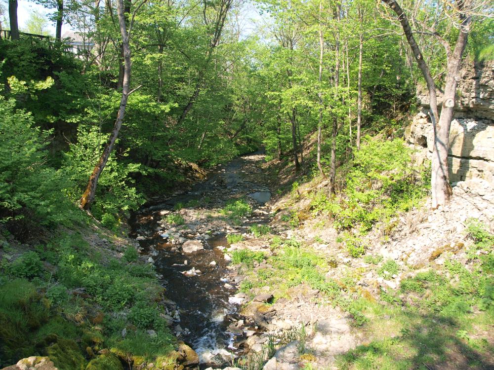
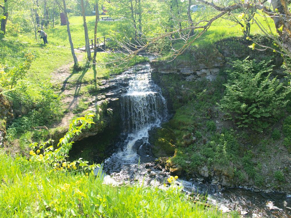
| Location remarks | Sillamäe läänepiirilt vana Viivikonna mnt lõuna suunas üle raudtee, kus paarisaja m pärast ristub tee võsastunud ojasängiga, juga 100 m teest kirdes. Joa kõrgus ca 5 m. |
| Strat. top | Kunda Stage |
| Strat. base | Varangu Stage |
| Remarks | Paljand oja kallastel ja joa astangul |
| Date added | 2003-04-10 |
| Date changed | 2017-03-16 |
Browse Geocollections
Partners


This site uses Matomo to analyze traffic and help us to improve your user experience. We process your IP address, viewed pages, load times and device information. This data is only processed by us.