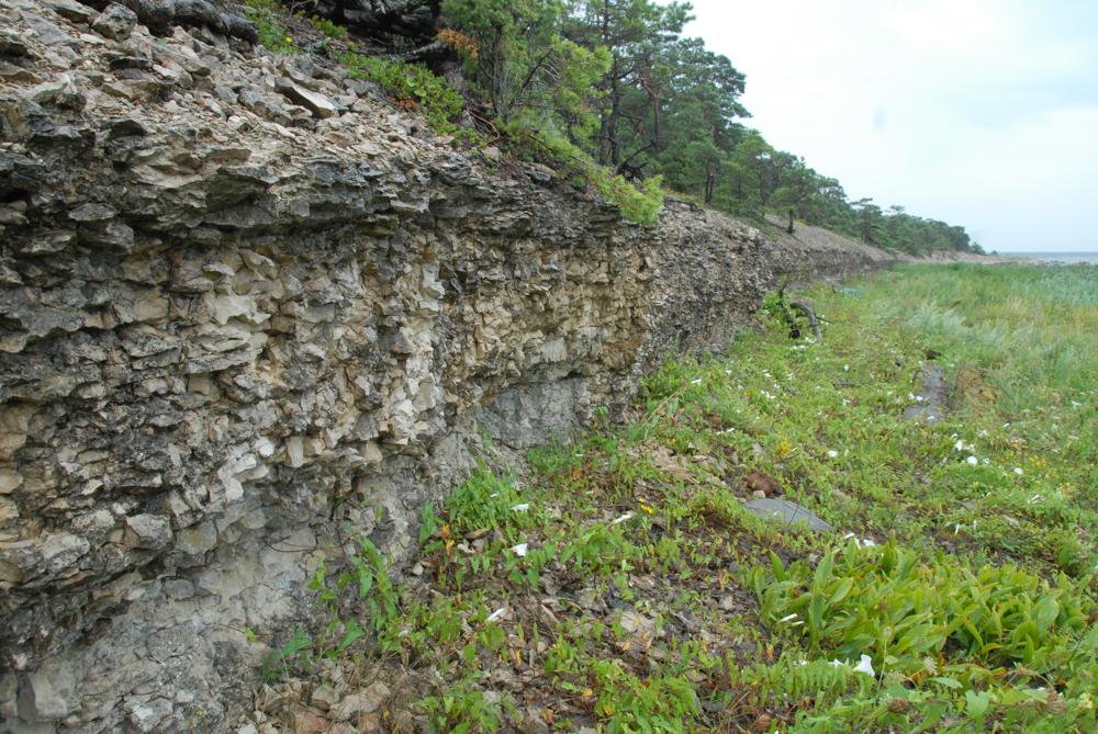

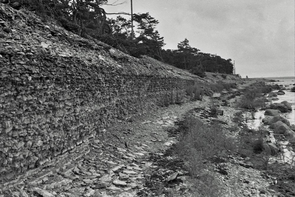
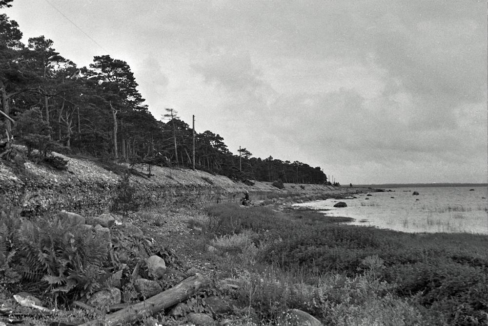
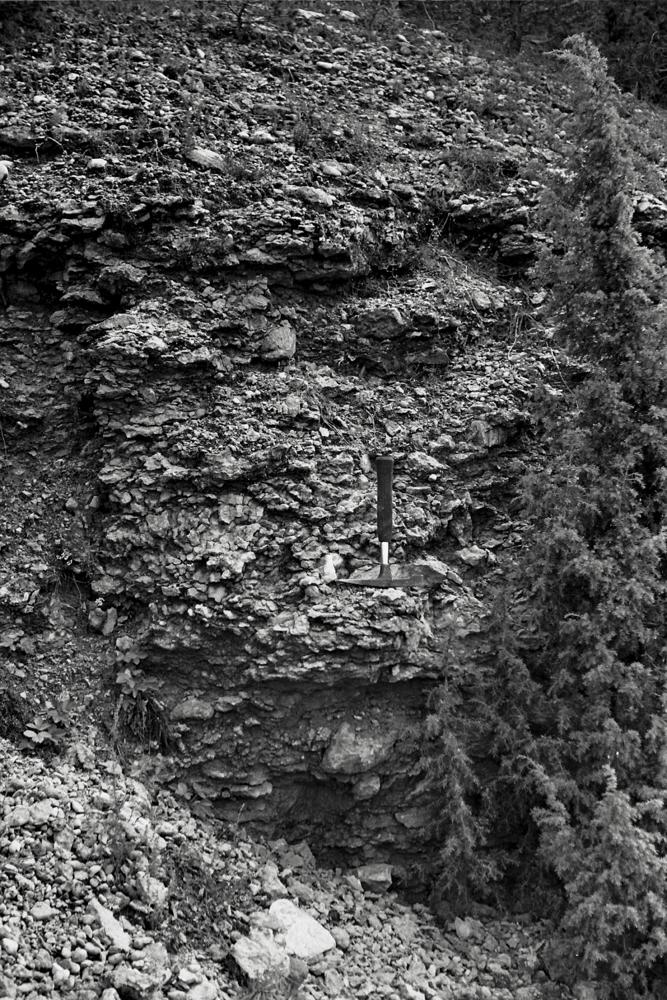
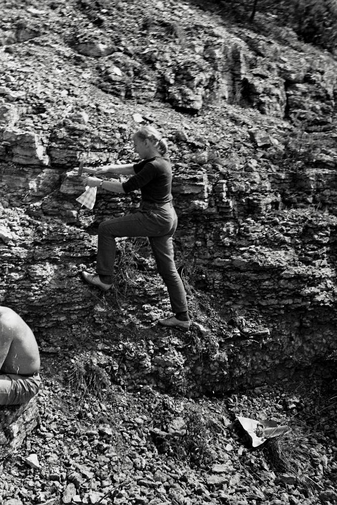
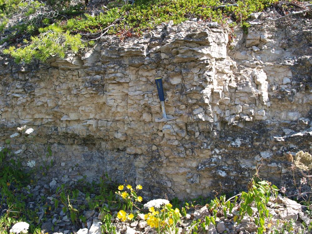
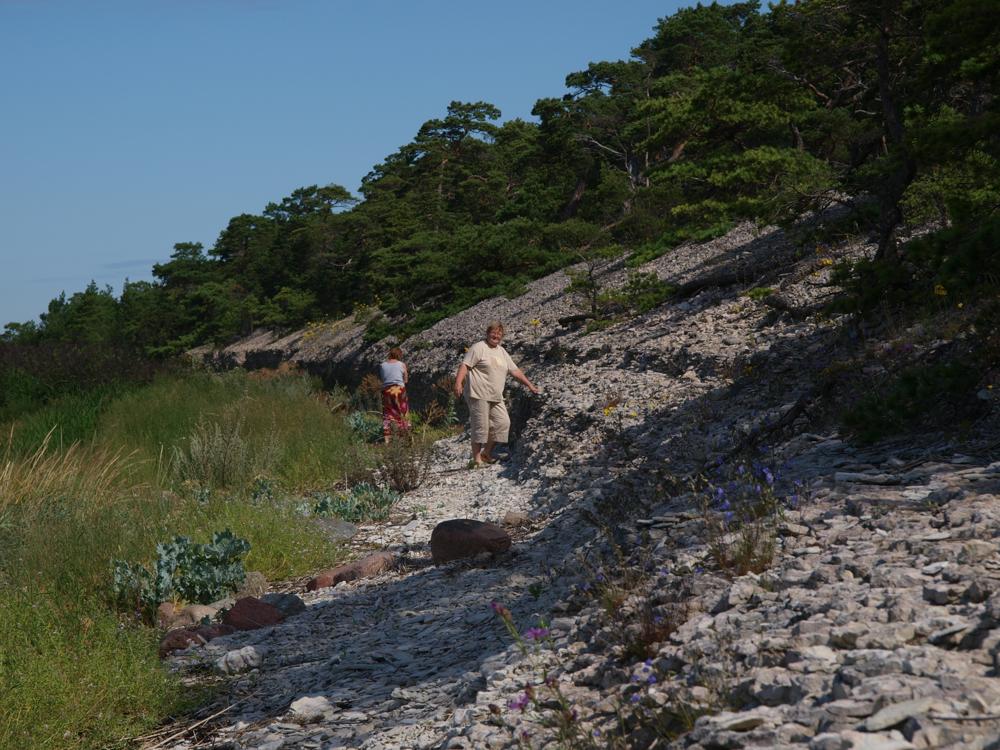
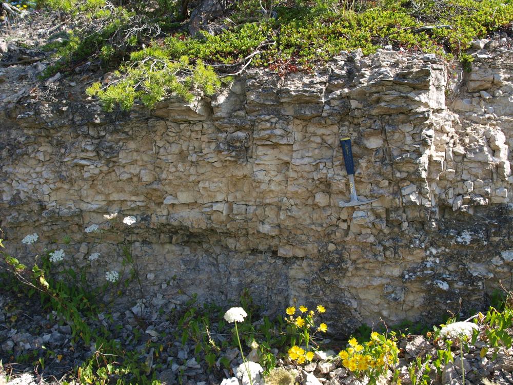
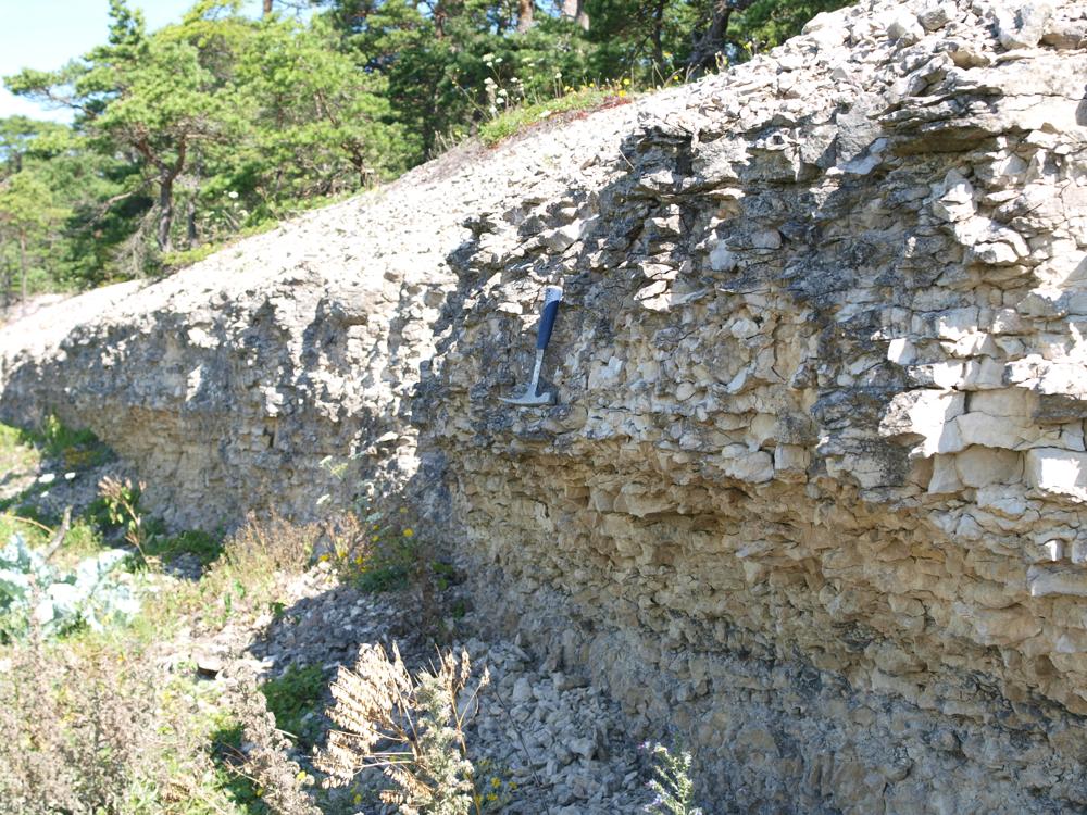
| Name | Abula cliff |
| Type | outcrop |
| Country | Estonia |
| Parish | Mustjala |
| Settlement | Rahtla |
| Depth | 3.3 |
| Coordinates | 58.4597, 22.11414 |
| Coordinate precision | 10-100 m |
| Coord. method | GPS |
| Coord. agent | Hints, Olle |
| Location remarks | Tagalahe idakaldal, Pidula mõisast 5 km loode pool, mererannal. Panga pikkus 700 m, kõrgus 2 m, geol läbilõiget 3,3 m. Pärast Pidulat pöörata Veere peale, siis kohe jälle paremale - läbida metsatukk ja Abula küla. Pärast Abula küla pöörata vasakule. |
| Strat. top | Jaagarahu Stage |
| Strat. base | Jaagarahu Stage |
| Remarks | Field Meeting, 1990. Loc 6 : 2. Rikkalikult stromatopooride kivistisi, millest on tulnud geoloogide pandud nimi - Pealuurand |
| Date added | 2002-08-13 |
| Date changed | 2024-02-28 |
Browse Geocollections
Partners


This site uses Matomo to analyze traffic and help us to improve your user experience. We process your IP address, viewed pages, load times and device information. This data is only processed by us.