
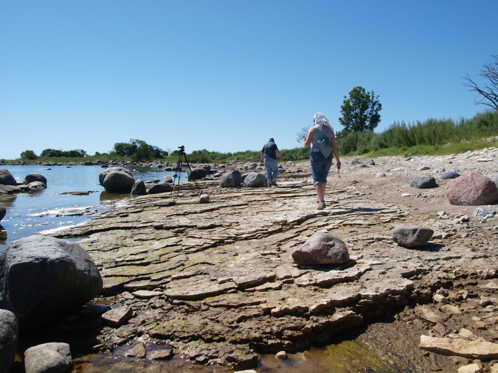


| Name | Kübassaare cliff |
| Type | outcrop |
| Country | Estonia |
| Parish | Pöide |
| Settlement | Kübassaare |
| Depth | 1.5 |
| Coordinates | 58.43193, 23.30936 |
| Coordinate precision | 10-100 m |
| Coord. method | GPS |
| Coord. agent | Hints, Olle |
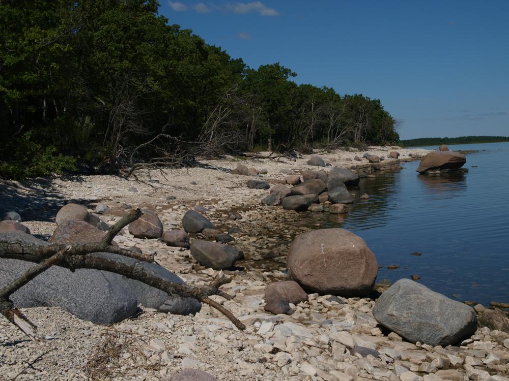
| Location remarks | Saaremaa kagurand, Kübassaare poolsaar, kaitse all oleva laialehise lehtpuumetsa lähistel. Panga pikkus 360 m, kõrgus 1,5 m |
| Strat. top | Rootsiküla Stage |
| Strat. base | Rootsiküla Stage |
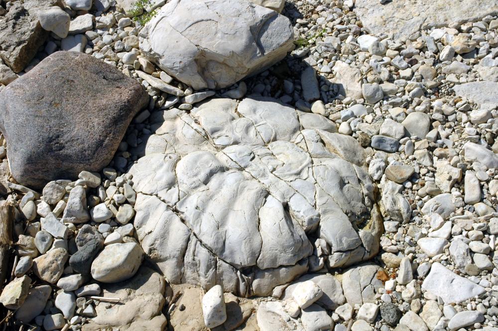
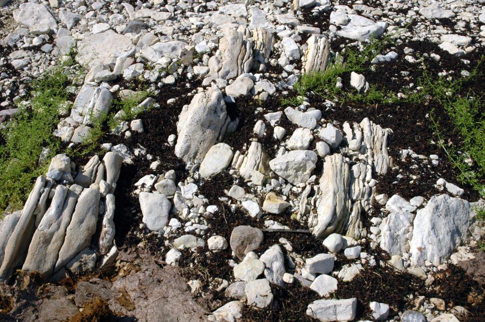
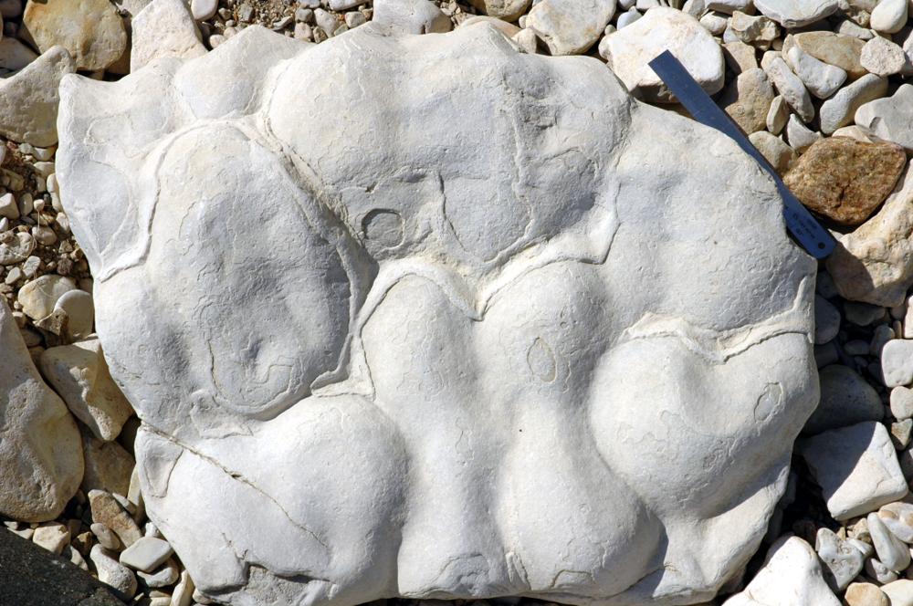
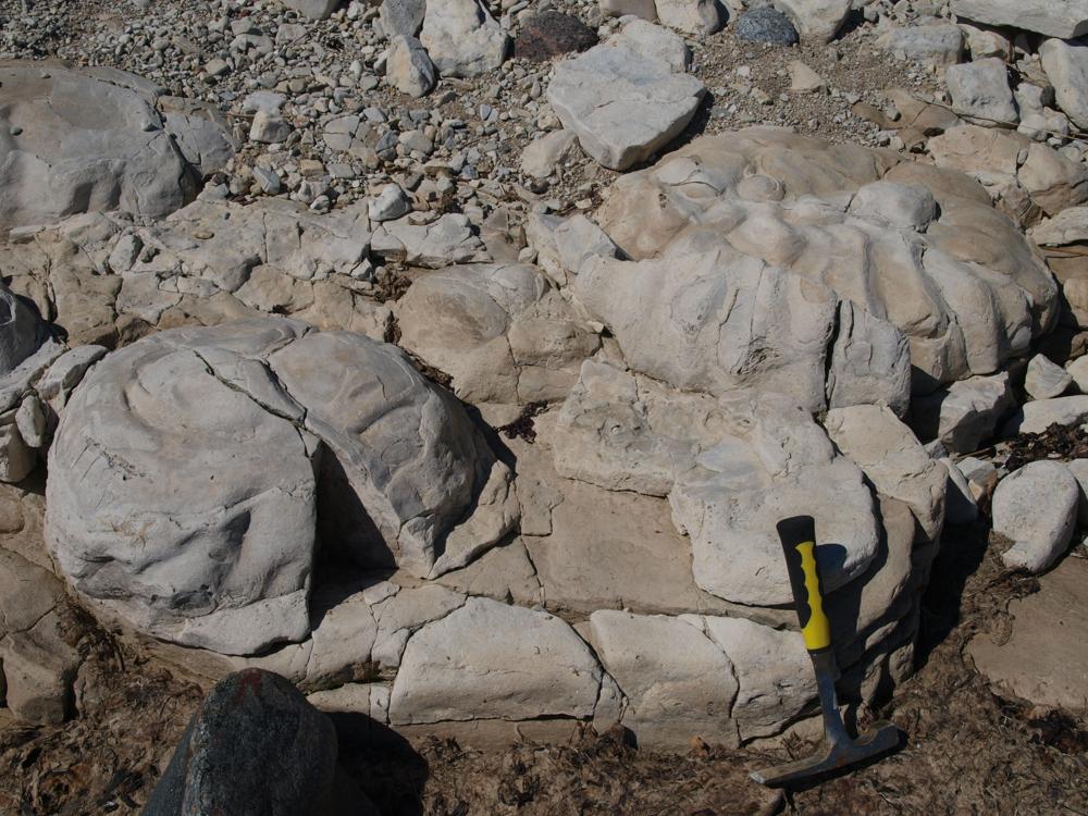
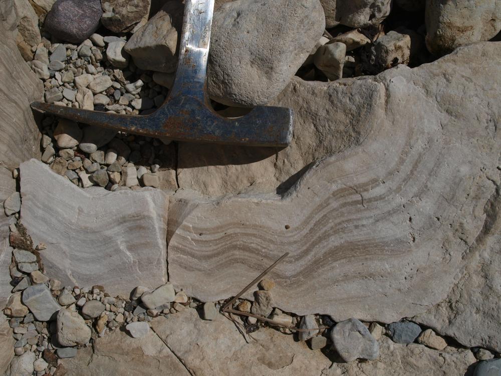
| Remarks | Pank madal, enamasti kaetud klibuga. Esineb vetikmoodustisi - stromatoliite. |
| Date added | 2002-08-13 |
| Date changed | 2024-07-18 |
Browse Geocollections
Partners


This site uses Matomo to analyze traffic and help us to improve your user experience. We process your IP address, viewed pages, load times and device information. This data is only processed by us.