
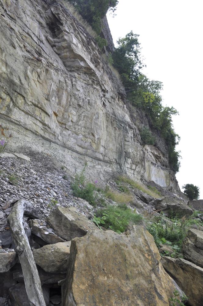
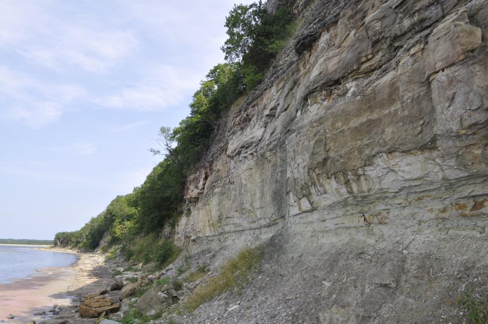
| Name | Türisalu cliff |
| Type | outcrop |
| Country | Estonia |
| Parish | Harku |
| Depth | 30 |
| Coordinates | 59.421669, 24.327156 |
| Coordinate precision | 100-1000 m |
| Coord. method | Est Land Board map server |
| Coord. agent | Aaloe, Aasa |
| Location remarks | Paekalda järsak kõrgusega 29-31 m; Kambriumi paljandit on kirjeldatud klindil ca 2km Vääna jõe suudmest lääne pool. Kambriumit ~10 m. |
| Strat. top | Kunda Stage |
| Strat. base | Lower Cambrian (old nomenclature) |
| Remarks | Türisalu kihistu (diktüoneemakilt) stratotüüp. Argilliitkilda hea paljand |
| Date added | 2002-02-14 |
| Date changed | 2025-04-09 |
Browse Geocollections
Partners


This site uses Matomo to analyze traffic and help us to improve your user experience. We process your IP address, viewed pages, load times and device information. This data is only processed by us.