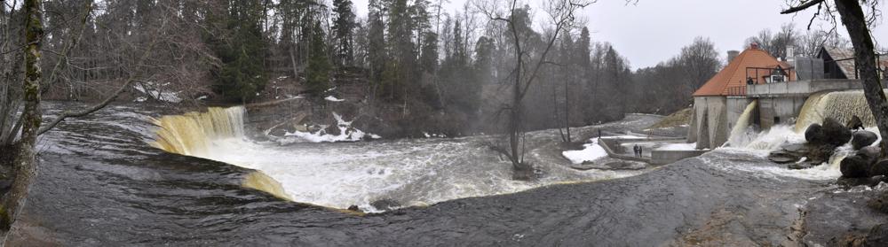
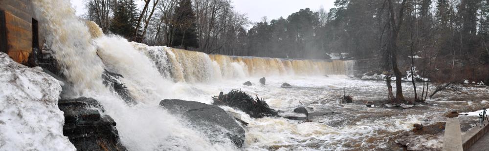
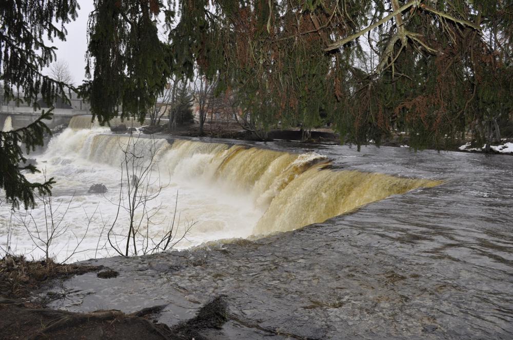
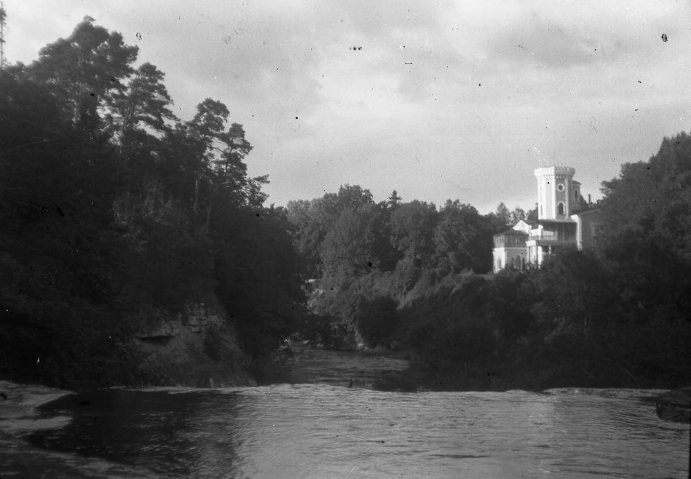
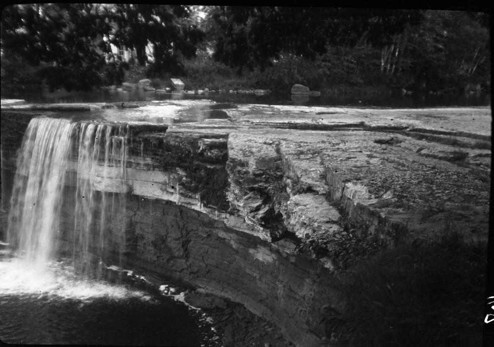

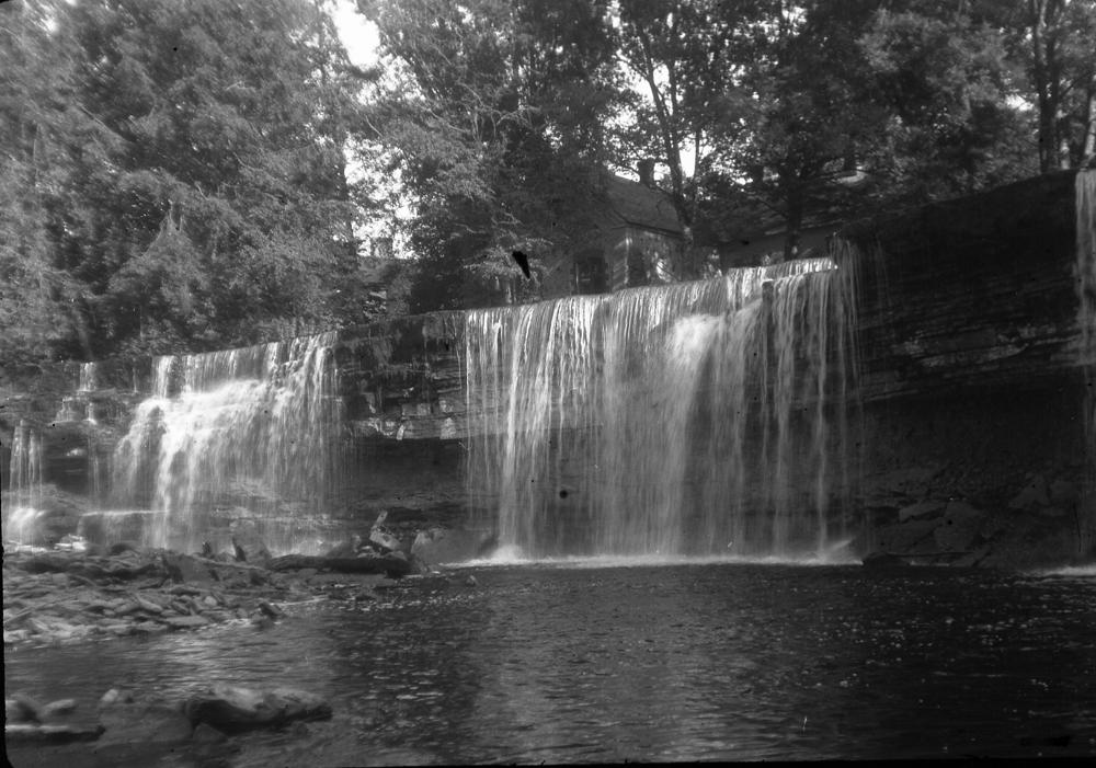
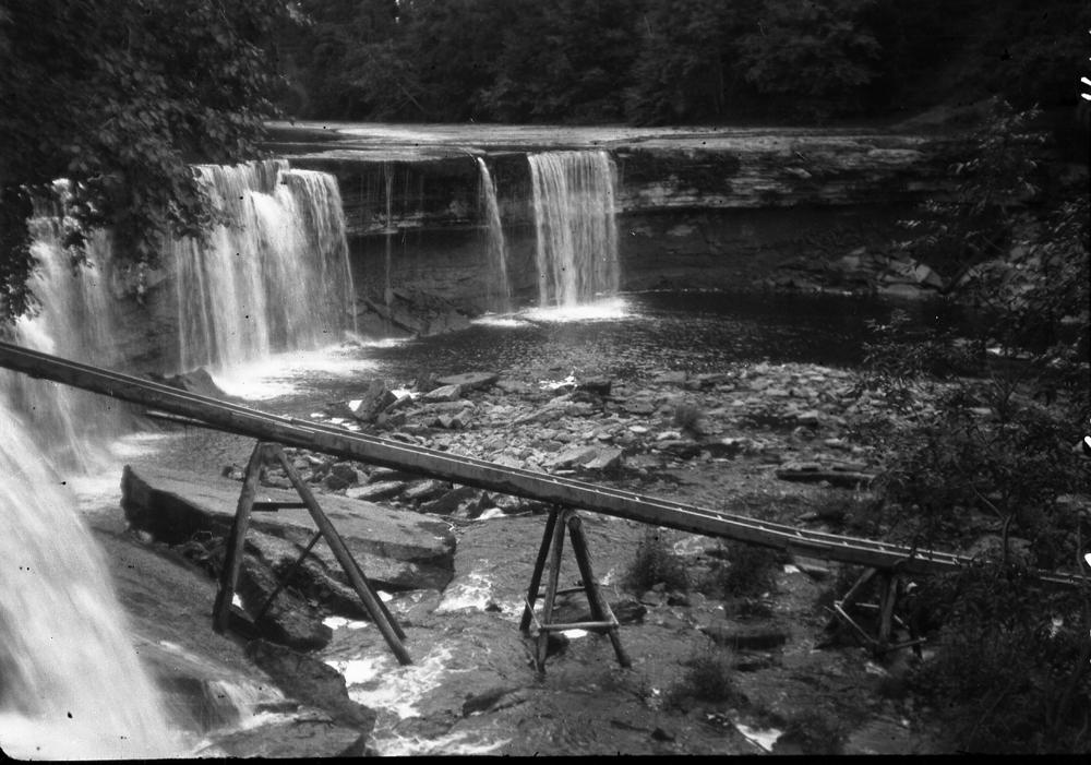
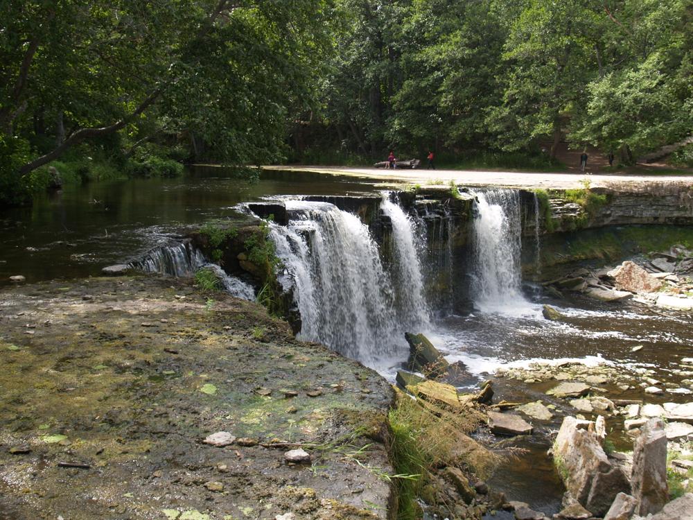
| Name | Keila juga |
| Type | outcrop |
| Country | Estonia |
| Parish | Keila |
| Depth | 5.5 |
| Coordinates | 59.395469, 24.294902 |
| Coordinate precision | 10-100 m |
| Coord. method | Est Land Board map server |
| Coord. agent | Aaloe, Aasa |
| Location remarks | Keila joa koordinaadid. Juga asub Keila jõel 100-150 m Tallinn-Paldiski maanteesillast põhja pool |
| Strat. top | Kunda Stage |
| Strat. base | Pakerort Stage |
| Date added | 2001-11-16 |
| Date changed | 2025-09-23 |
Browse Geocollections
Partners


This site uses Matomo to analyze traffic and help us to improve your user experience. We process your IP address, viewed pages, load times and device information. This data is only processed by us.