| Name | Joaveski outcrop |
| Type | outcrop |
| Country | Estonia |
| Parish | Loksa |
| Coordinates | 59.512291, 25.817275 |
| Coordinate precision | 10-100 m |
| Coord. method | Est Land Board map server |
| Coord. agent | Aaloe, Aasa |
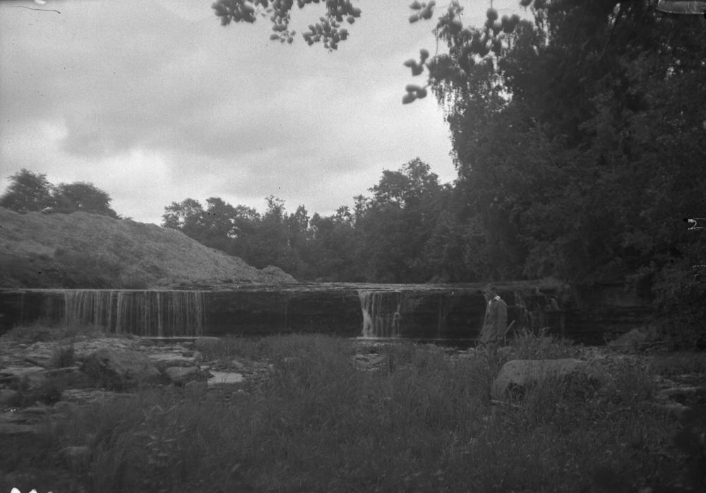
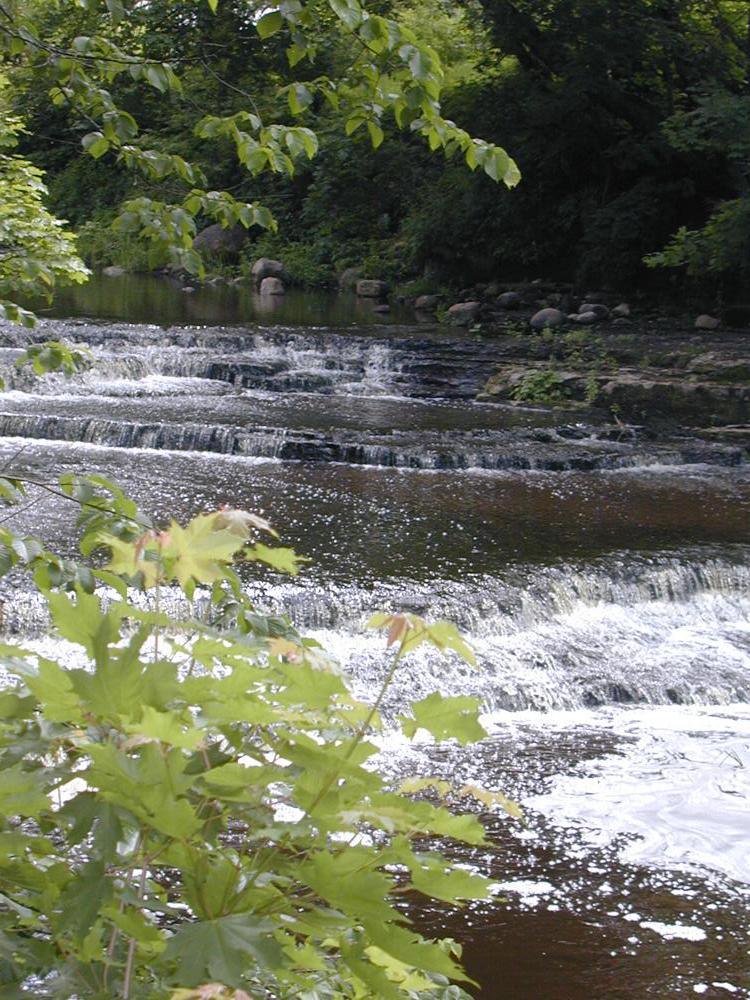
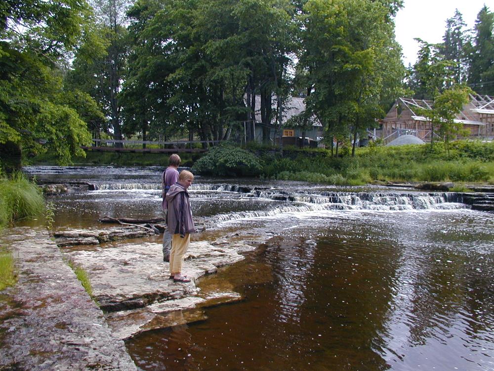
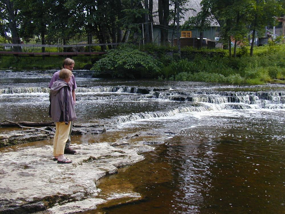
| Location remarks | Joaveski juga (kõrgus ca 3.4 m) ning kaldaastangud Loobu jõel. Ca 5 km Tallinn-Narva mnt-st põhja pool. Joaveski paljand Loobu jõel - Loobu kihistu (BIIIL; O2lb) holostratotüüp (Kunda lade, Ordoviitsiumi ladestu); |
| Strat. base | Kunda Stage |
| Remarks | Joa põhjas ja jõe kallastel kuni 400 m pikkusel lõigul paljandub Kunda lade max 4,4 m paksuselt. Loobu kihistu stratotüüp |
| Date added | 2001-11-16 |
| Date changed | 2019-01-17 |
Browse Geocollections
Partners


This site uses Matomo to analyze traffic and help us to improve your user experience. We process your IP address, viewed pages, load times and device information. This data is only processed by us.