
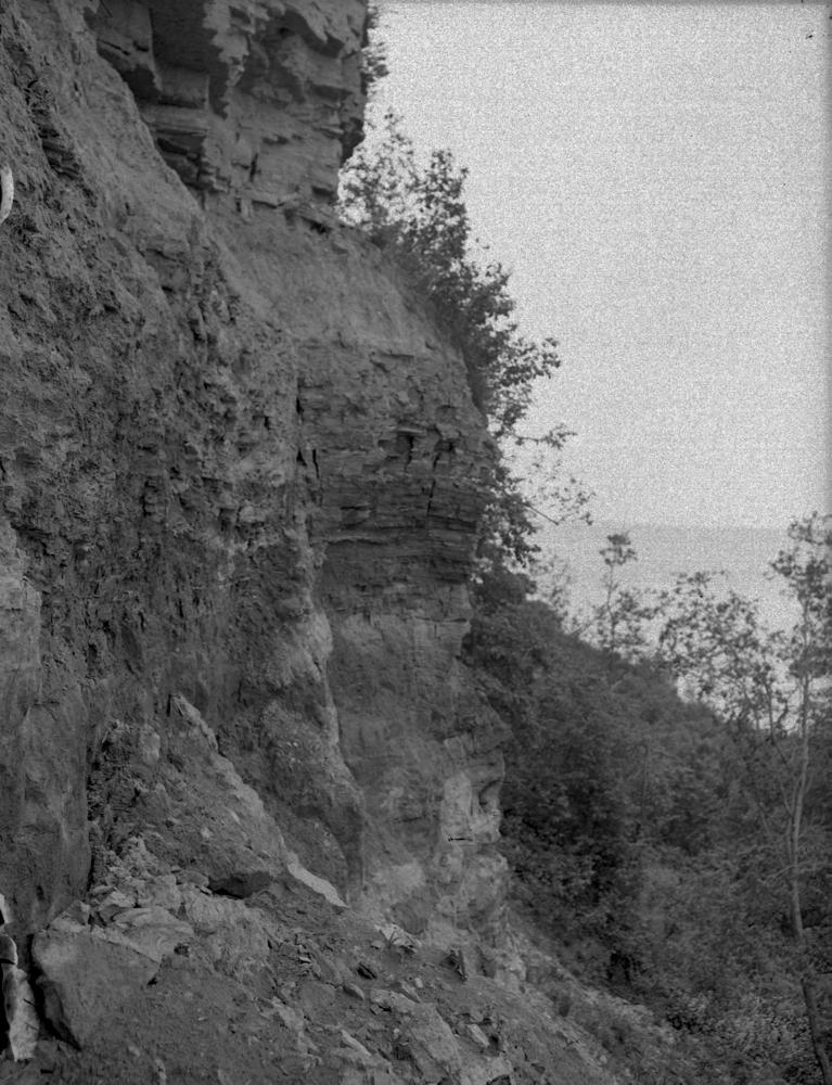


| Name | Saka outcrop |
| Type | outcrop |
| Country | Estonia |
| Parish | Kohtla |
| Settlement | Saka |
| Coordinates | 59.441158, 27.215056 |
| Coordinate precision | 10-100 m |
| Coord. method | Est Land Board map server |
| Coord. agent | Aaloe, Aasa |
| Location remarks | Saka külast ca 1,5 km loodes, K-Järve kanalisatsioonitrassi idasein, ca 100m paekaldast |
| Strat. top | Pakerort Stage |
| Strat. base | Cambrian |
| Remarks | H. Heinsalu päevikud. Rannu kihistiku stratotüüp ja Ida-Eesti (Rakvere tüüpi) fosforiidi näidispaljand |
| Date added | 2001-03-29 |
| Date changed | 2016-11-04 |
Browse Geocollections
Partners


This site uses Matomo to analyze traffic and help us to improve your user experience. We process your IP address, viewed pages, load times and device information. This data is only processed by us.