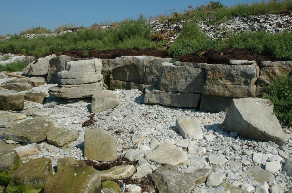
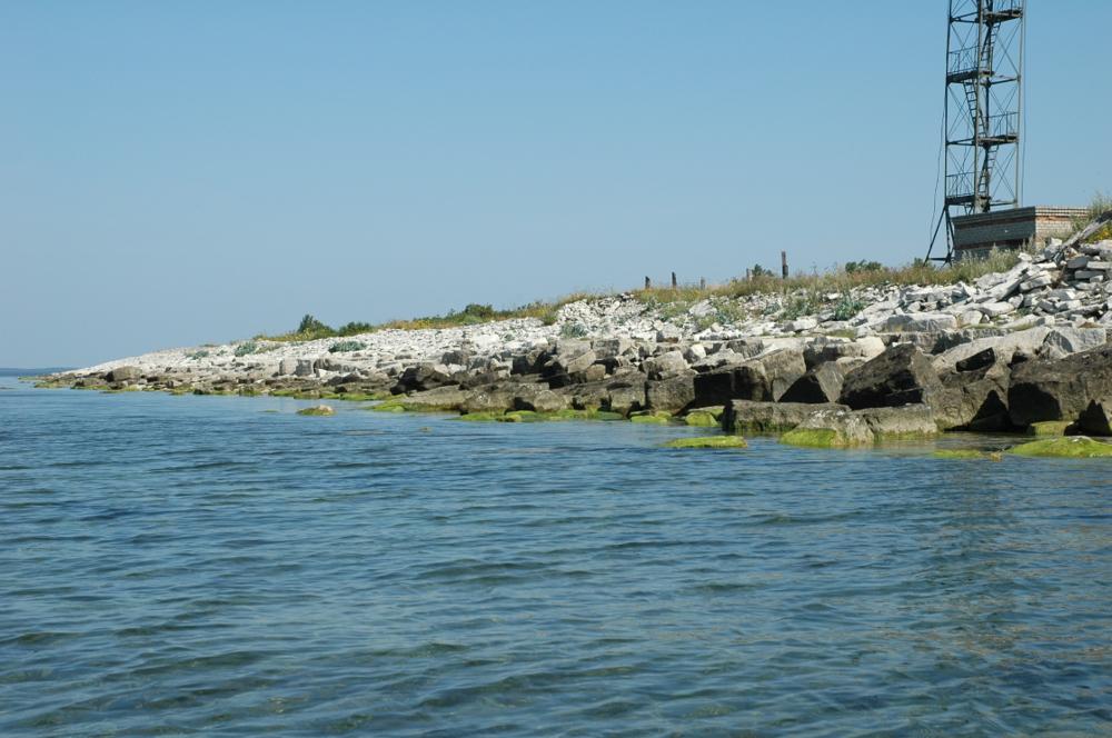


| Name | Elda cliff |
| Type | outcrop |
| Country | Estonia |
| Parish | Lümanda |
| Depth | 1.8 |
| Coordinates | 58.30451, 21.82913 |
| Coordinate precision | 10-100 m |
| Coord. method | GPS |
| Coord. agent | Hints, Olle |
| Location remarks | Atla poolsaare loodenurk. Panga pikkus 200 m, kõrgus 1,8 m. Jääb Vilsandi Rahvuspargi territooriumile |
| Strat. top | Rootsiküla Stage |
| Strat. base | Rootsiküla Stage |
| Date added | 2001-02-26 |
| Date changed | 2022-02-17 |
Browse Geocollections
Partners


This site uses Matomo to analyze traffic and help us to improve your user experience. We process your IP address, viewed pages, load times and device information. This data is only processed by us.