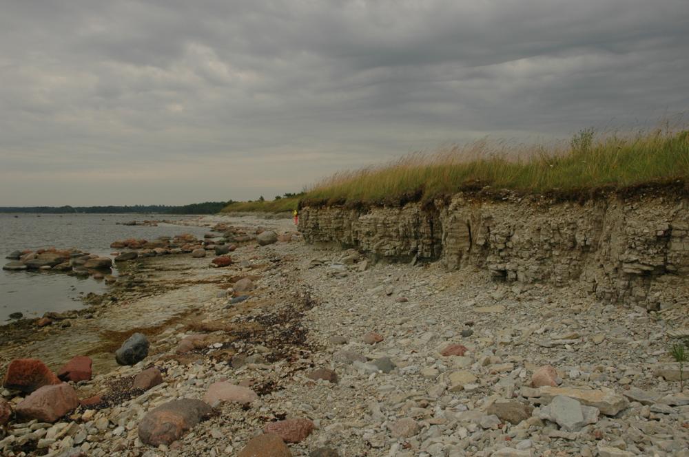
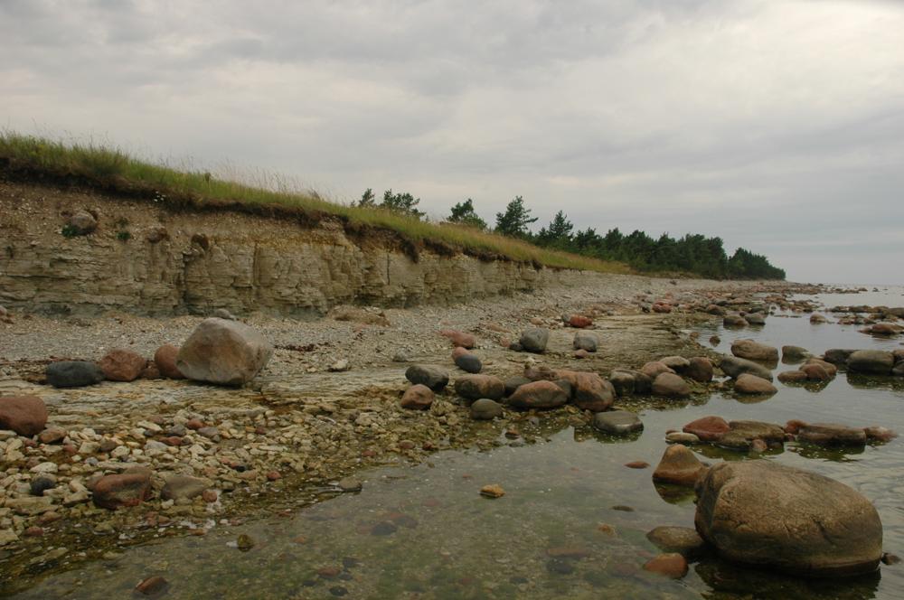

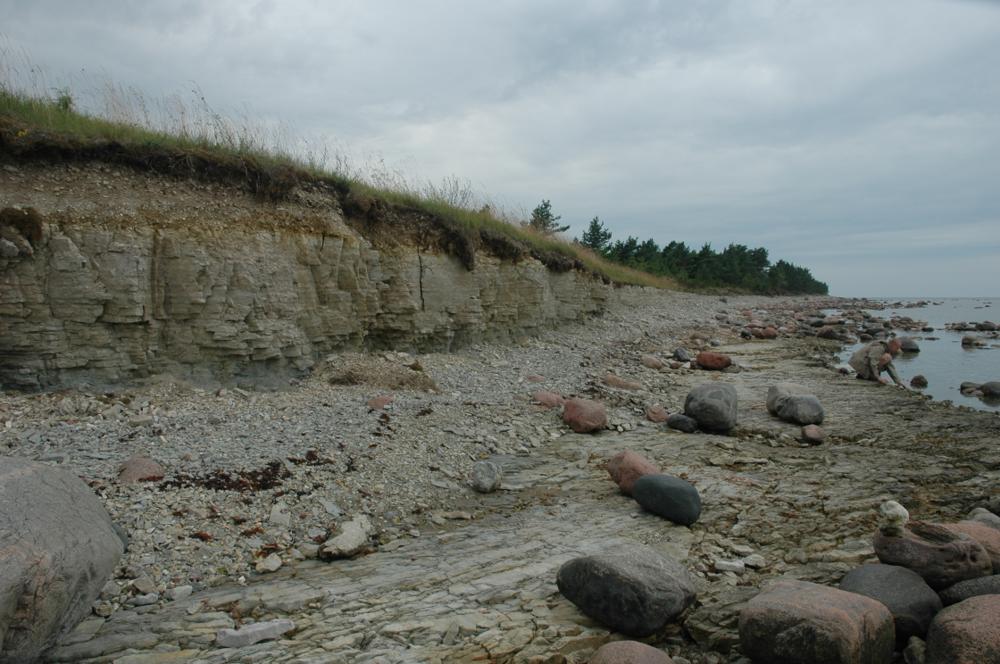
| Name | Liiva cliff |
| Type | outcrop |
| Country | Estonia |
| Parish | Mustjala |
| Settlement | Liiva |
| Depth | 2.8 |
| Coordinates | 58.575274, 22.369211 |
| Coordinate system | EPSG:3301 |
| X | 6493961 |
| Y | 405134 |
| Coordinate precision | 1-10 m |
| Coord. method | Est Land Board map server |
| Coord. agent | Hints, Olle |
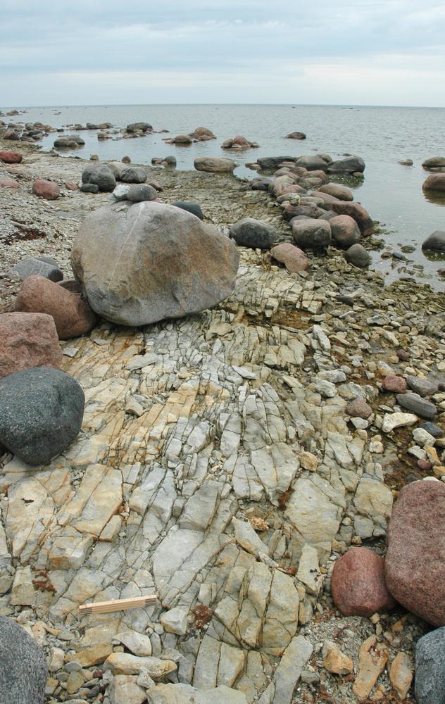
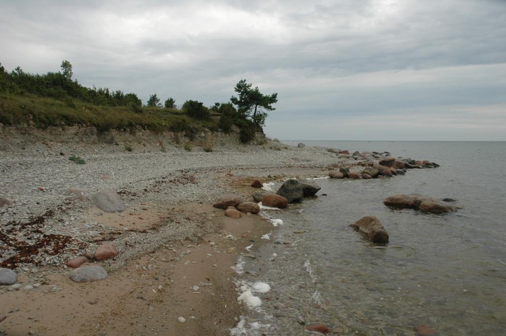
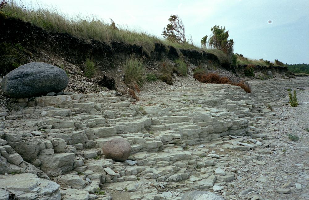
| Location remarks | Saaremaa põhjarannikul, 3 km Panga külast ida pool. Panga-Pahapilli maanteelt läheb tee Liiva külla ja pangale. Panga pikkus 600 m, kõrgus 2,1 m |
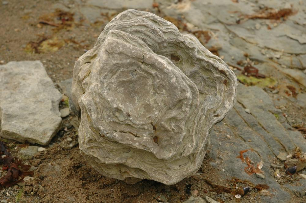
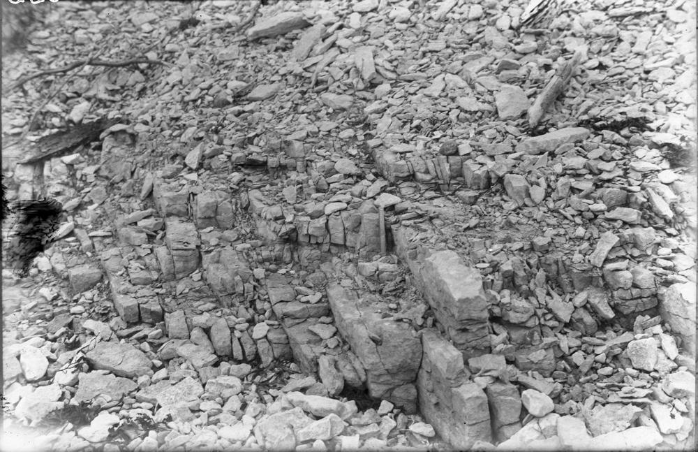
| Strat. top | Jaani Stage |
| Strat. base | Jaani Stage |
| Date added | 2001-02-26 |
| Date changed | 2024-02-28 |
Browse Geocollections
Partners


This site uses Matomo to analyze traffic and help us to improve your user experience. We process your IP address, viewed pages, load times and device information. This data is only processed by us.