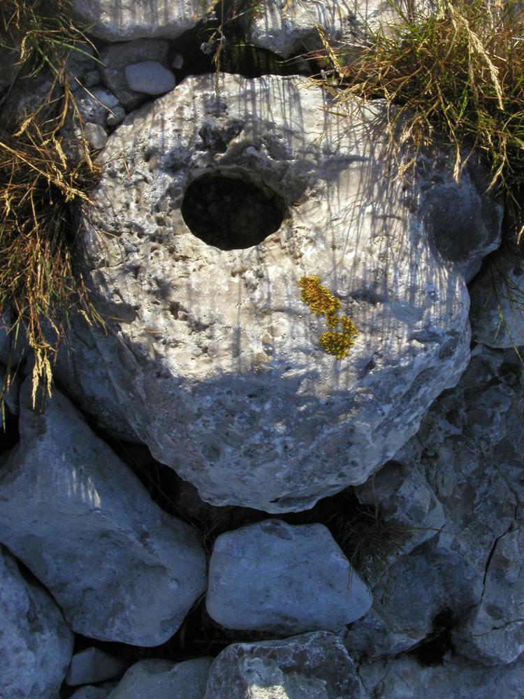
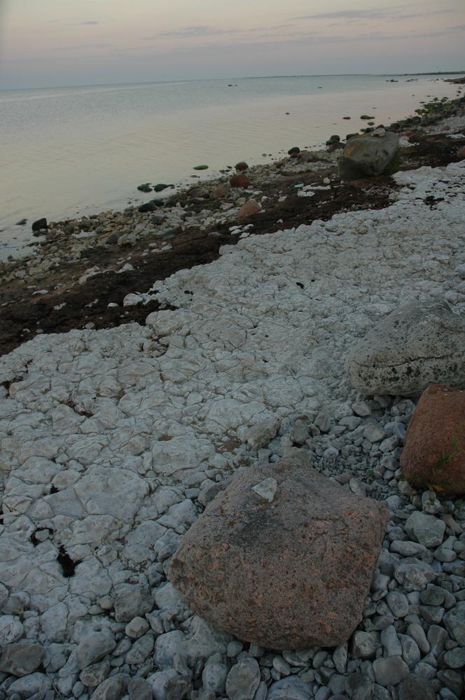
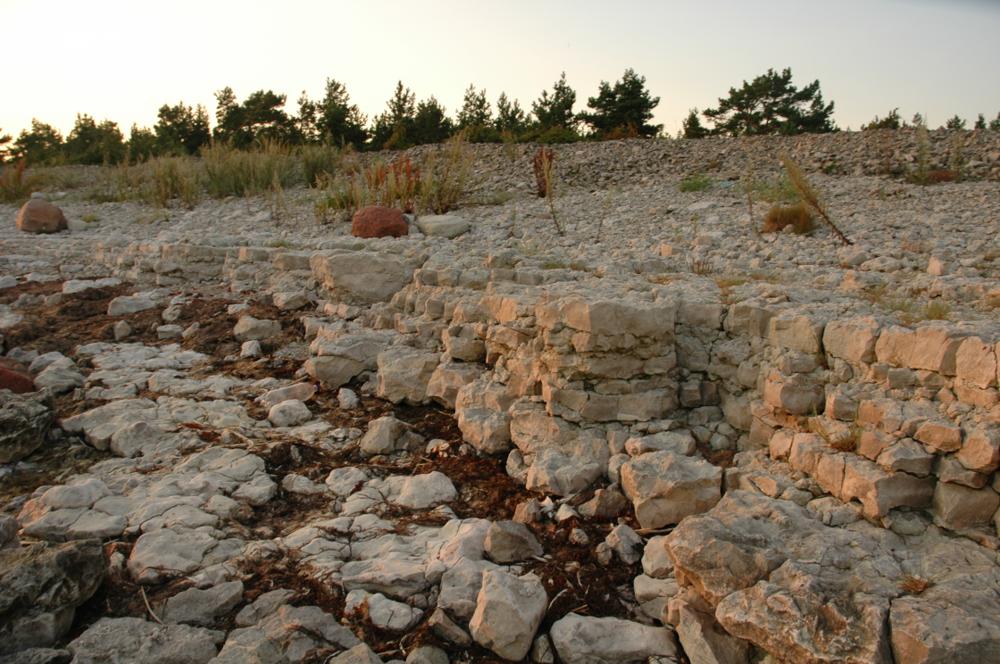
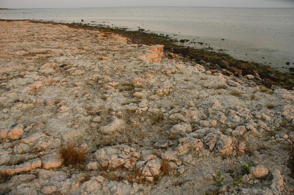

| Name | Katri cliff |
| Type | outcrop |
| Country | Estonia |
| Parish | Lümanda |
| Depth | 1 |
| Coordinates | 58.23547, 21.97226 |
| Coordinate precision | 10-100 m |
| Coord. method | GPS |
| Coord. agent | Hints, Olle |
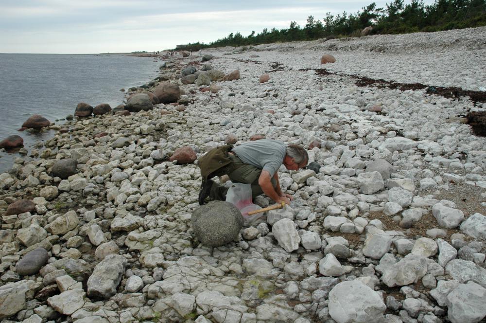
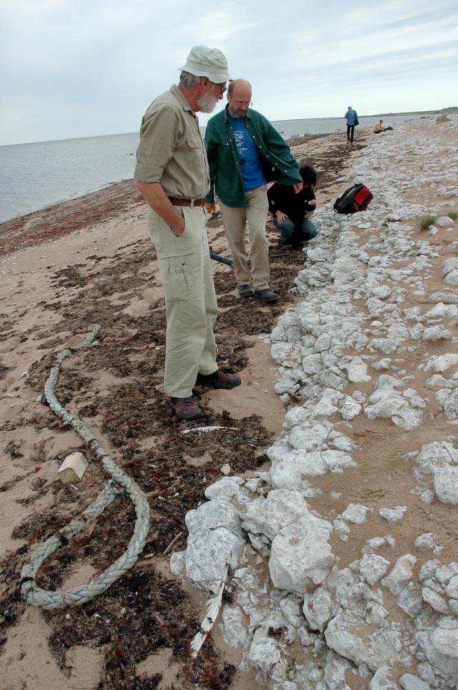
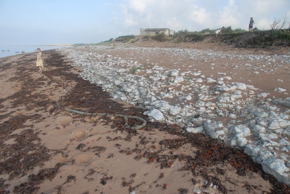
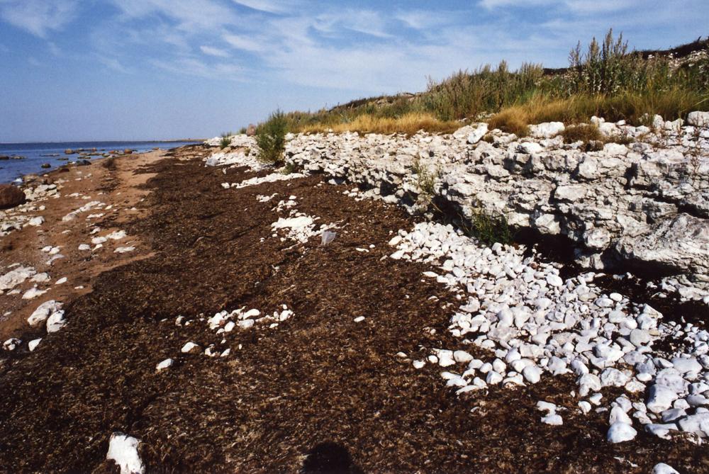
| Location remarks | Saaremaa läänerannal, Karala külast 4 km lõunasse, mere ääres. Panga pikkus 100m, kõrgus 1m |
| Strat. top | Paadla Stage |
| Strat. base | Paadla Stage |
| Remarks | Katri kihistiku stratotüüp; Rikkaliku ja mitmekesise faunaga biostroom, mille koostises on stromatopoore, tabulaate, rugoose, brahhiopoode |
| Date added | 2001-02-23 |
| Date changed | 2022-02-17 |
Browse Geocollections
Partners


This site uses Matomo to analyze traffic and help us to improve your user experience. We process your IP address, viewed pages, load times and device information. This data is only processed by us.