
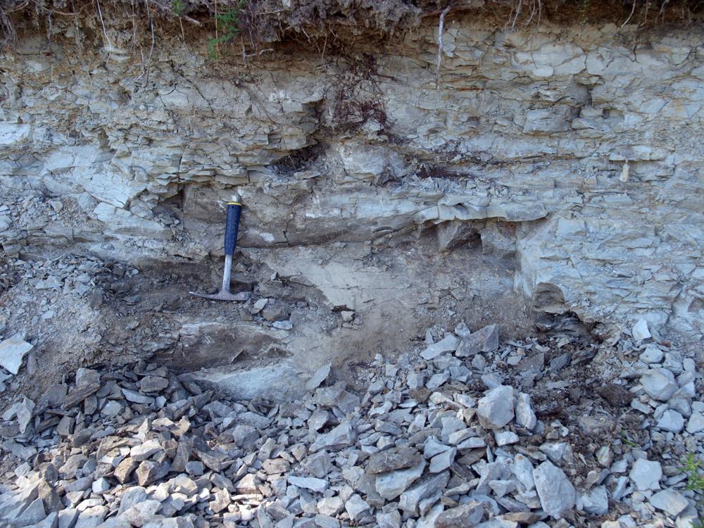
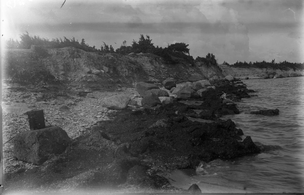
| Name | Paramaja cliff |
| Type | outcrop |
| Country | Estonia |
| Parish | Orissaare |
| Settlement | Jaani |
| Coordinates | 58.61539, 22.8977 |
| Coordinate precision | 10-100 m |
| Coord. method | GPS |
| Coord. agent | Hints, Olle |
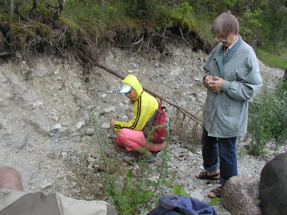
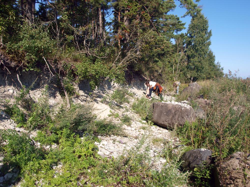
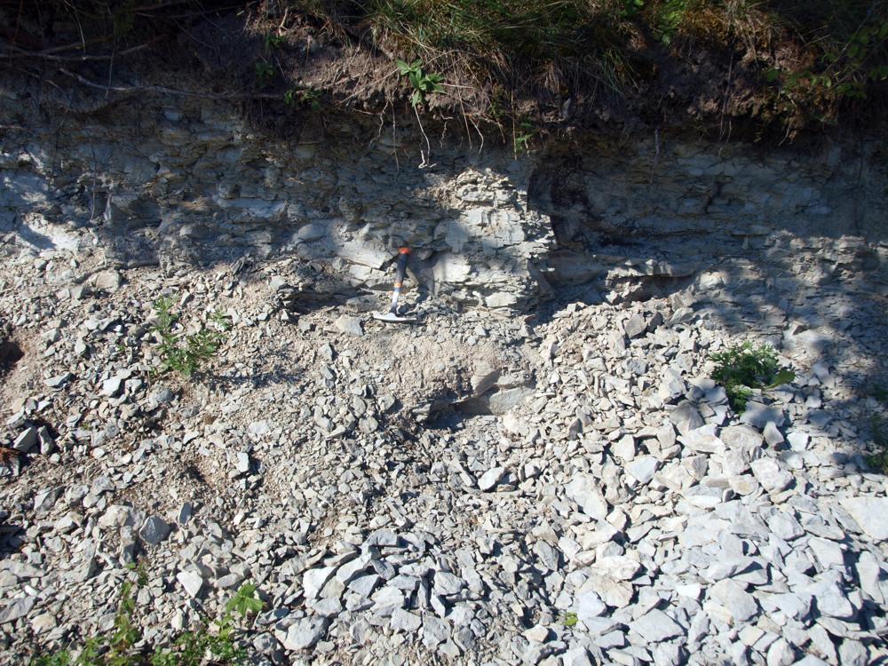
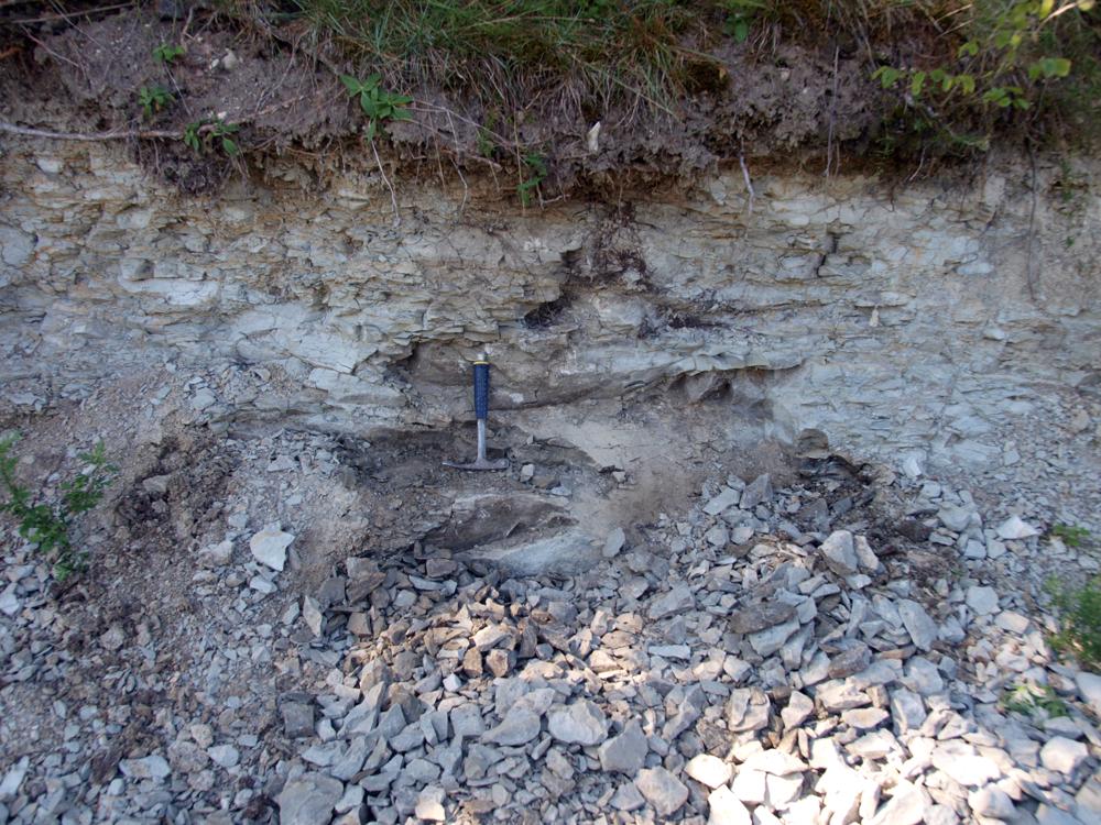
| Location remarks | Asub Jaani kirikust 1 km lääne pool, kohas kus mnt on kõige lähemal merele. Panga pikkus 80 m, kõrgus 1,9 m |
| Strat. top | Jaani Stage |
| Strat. base | Jaani Stage |
| Remarks | Jaani lademe, Jaani kihistu ja Paramaja kihistiku stratotüüp; tuntud fossiilide leiukoht. Field Meeting, 1990. Loc 5 : 3. |
| Date changed | 2024-02-27 |
Browse Geocollections
Partners


This site uses Matomo to analyze traffic and help us to improve your user experience. We process your IP address, viewed pages, load times and device information. This data is only processed by us.