

| Name | Paope quarry |
| Type | outcrop |
| Country | Estonia |
| Parish | Kõrgessaare |
| Depth | 1 |
| Coordinates | 58.953889, 22.436111 |
| Coordinate precision | 10-100 m |
| Coord. method | GPS |
| Coord. agent | Aaloe, Aasa |
| Location remarks | Kõrgessaare poolt tulles mnt-st ~100 m mere pool Paope küla viida ja esimeste majade vahel hõredate kadakatega karjamaal ehk Paope külast ca 300 m idas ja Kärdla-Kõpu mnt-st 100 m põhja pool. |
| Strat. top | Vormsi Stage |
| Strat. base | Vormsi Stage |
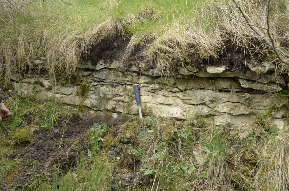
| Remarks | Vana mahajäetud murd. Andmeid juba Fr. Schmidtil. 1980-ndatel L.Põlmal profiili ca 1 m. Murrud suunduvad kuni 2,0m sügavuse vonkleva kraavina umbes 200m pikkuselt Paope küla poole. 2014 aastal kraav peaaegu täiesti kinni kasvanud (U.T). |
| Date changed | 2018-03-28 |
Browse Geocollections
Partners


This site uses Matomo to analyze traffic and help us to improve your user experience. We process your IP address, viewed pages, load times and device information. This data is only processed by us.