


| Name | Porkuni quarry |
| Type | outcrop |
| Country | Estonia |
| Parish | Tamsalu |
| Settlement | Porkuni |
| Depth | 4.2 |
| Coordinates | 59.187346, 26.187433 |
| Coordinate system | EPSG:3301 |
| X | 6563023 |
| Y | 625014 |
| Coordinate precision | 10-100 m |
| Coord. method | GPS |
| Coord. agent | Hints, Olle |
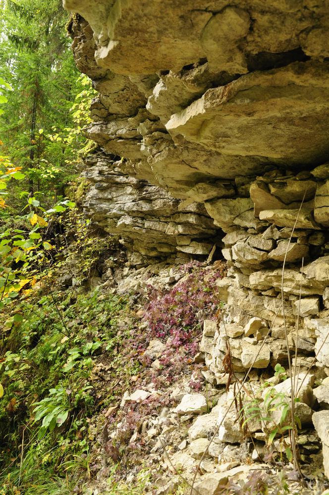
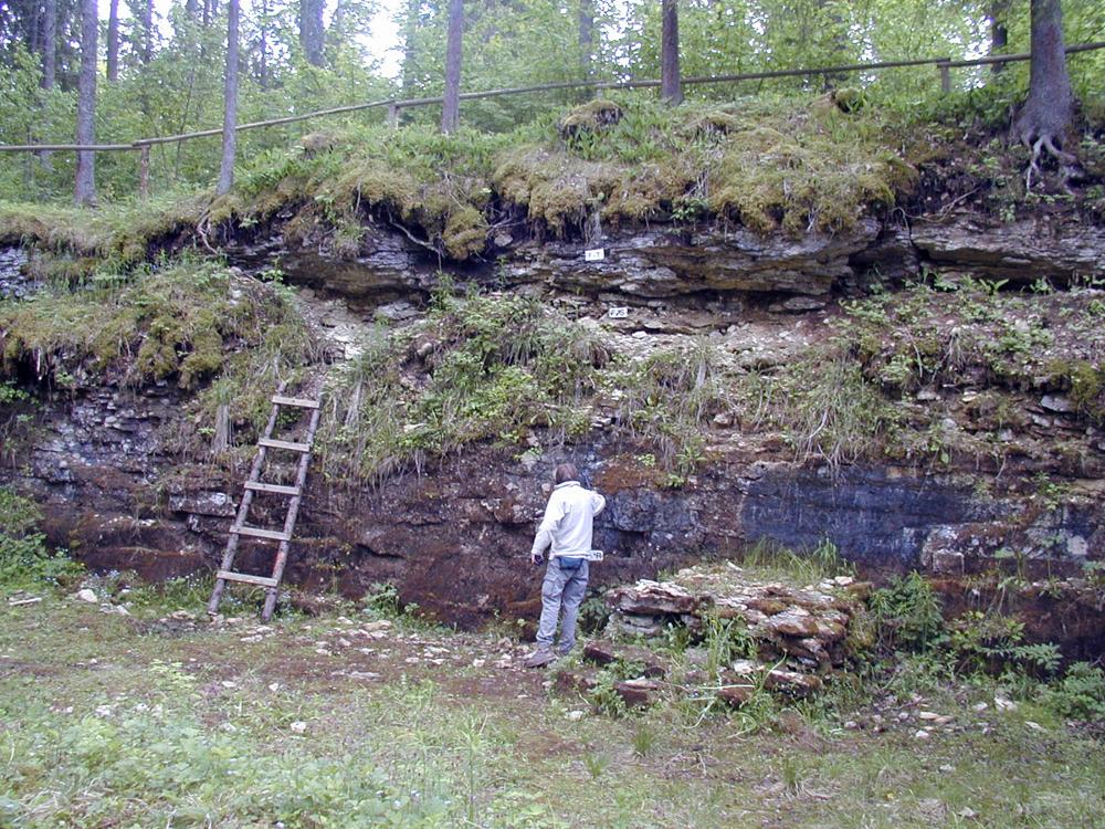
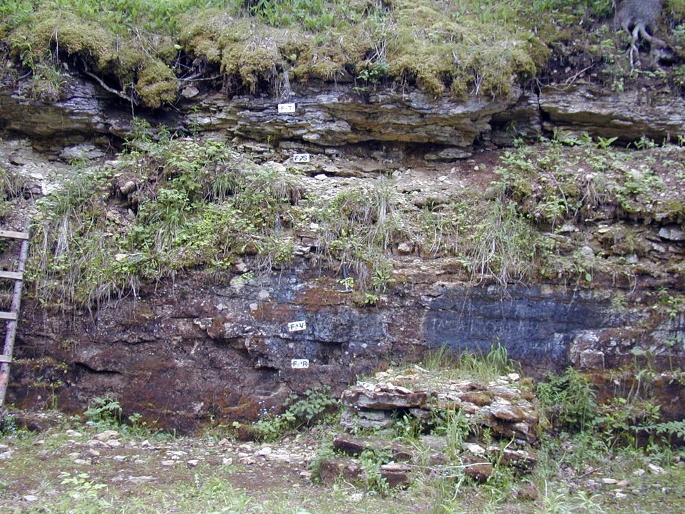
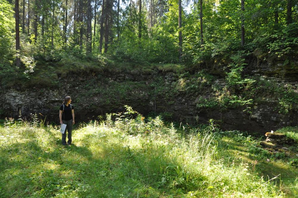
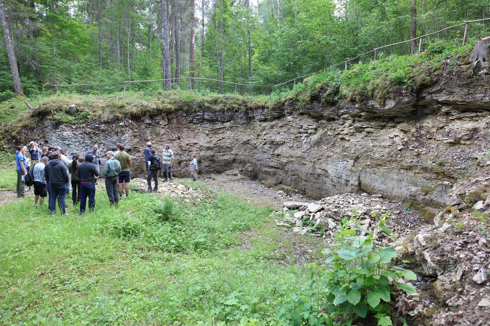
| Location remarks | Asub endise Porkuni mõisa metsapargi loodeservas Valgejõe oru läänenõlval Tamsalu-Kullenga mnt ääres ca 300 m uuest Valgejõe sillast. Porkuni kihistu (FII; O3pk) holostratotüüp (Atla alamladestik, Hirnanti lade, Ordoviitsiumi ladestu); |
| Strat. top | Porkuni Stage |
| Strat. base | Pirgu Stage |
| Remarks | Vana ulatuslik paemurd. Porkuni lademe stratotüüp; OH: kust pärineb vahepealne nimi Porkuni II murd? |
| Date changed | 2024-02-28 |
Browse Geocollections
Partners


This site uses Matomo to analyze traffic and help us to improve your user experience. We process your IP address, viewed pages, load times and device information. This data is only processed by us.