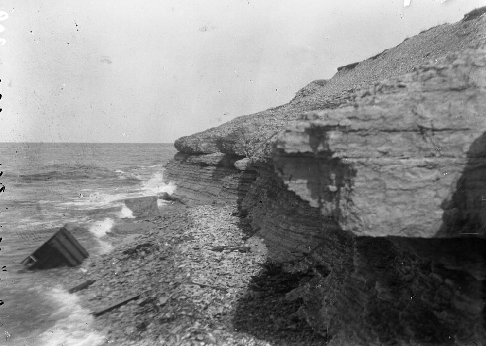
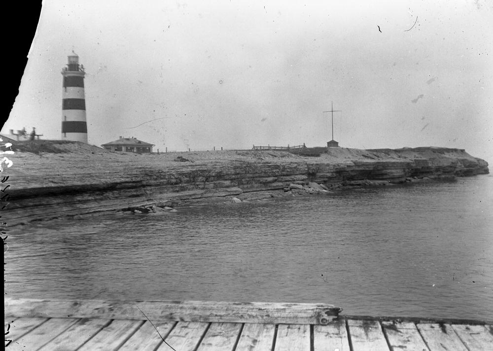
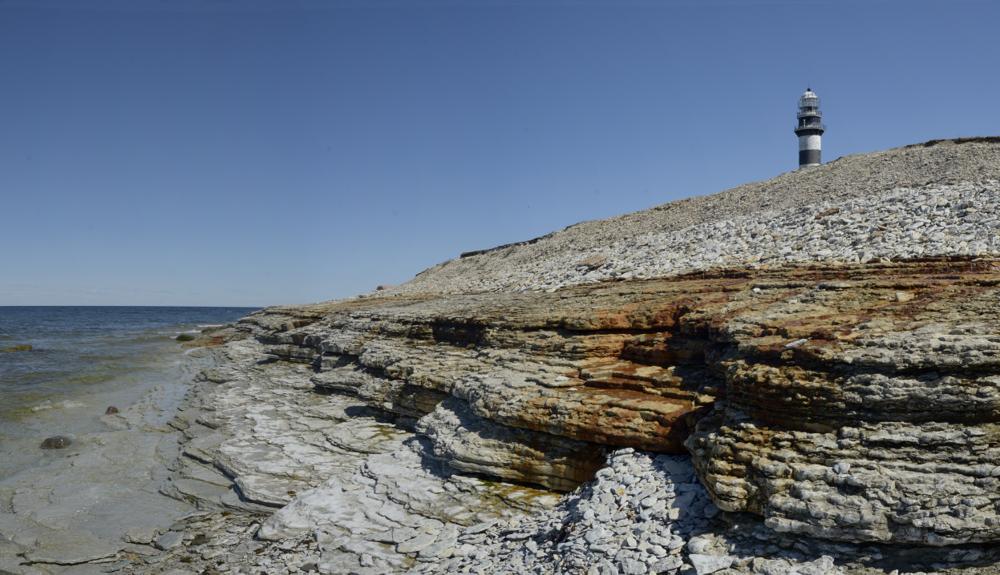

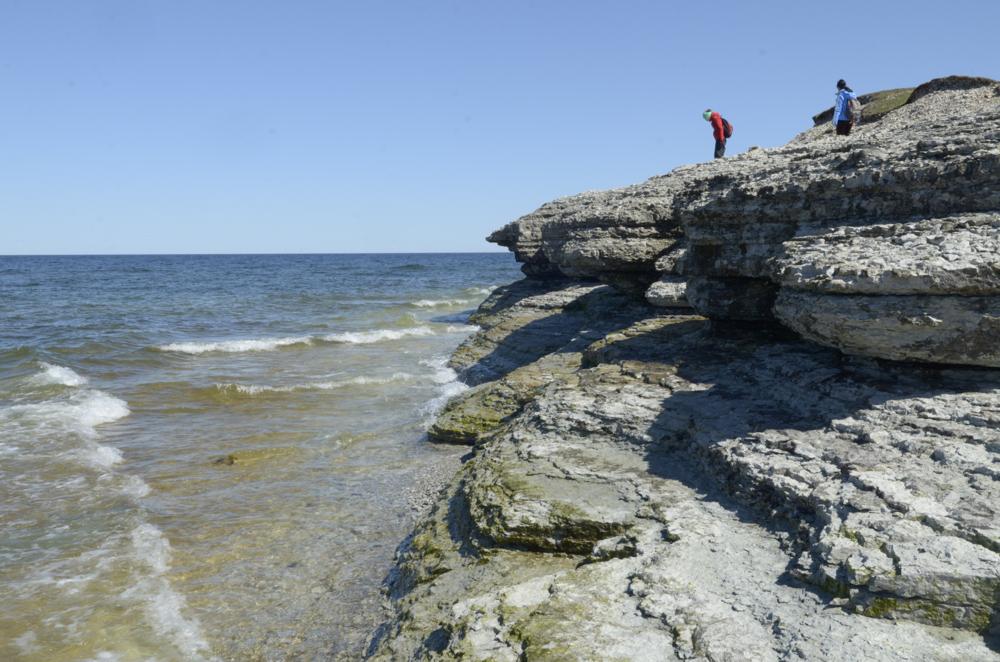
| Name | Osmussaare cliff |
| Type | outcrop |
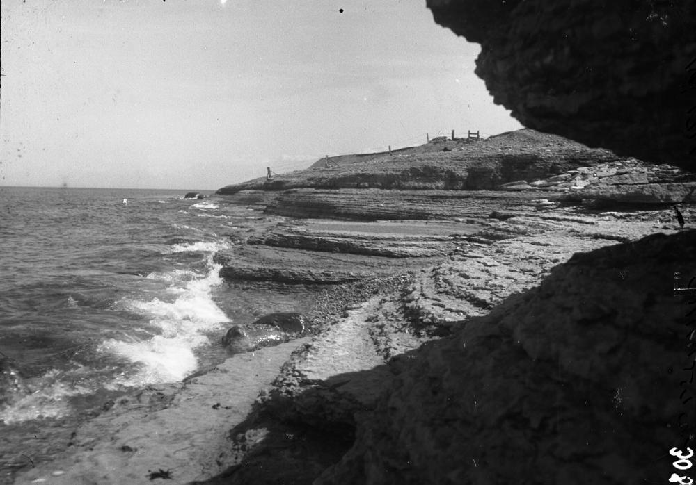
| Country | Estonia |
| Parish | Noarootsi |
| Coordinates | 59.304253, 23.361669 |
| Coord. method | Est Land Board map server |
| Coord. agent | Aaloe, Aasa |
| Location remarks | Koordinaadid saare põhjatipust majaka lähedalt. Pankrannik algabki saare põhjatipust ja levib idaranna keskosani |
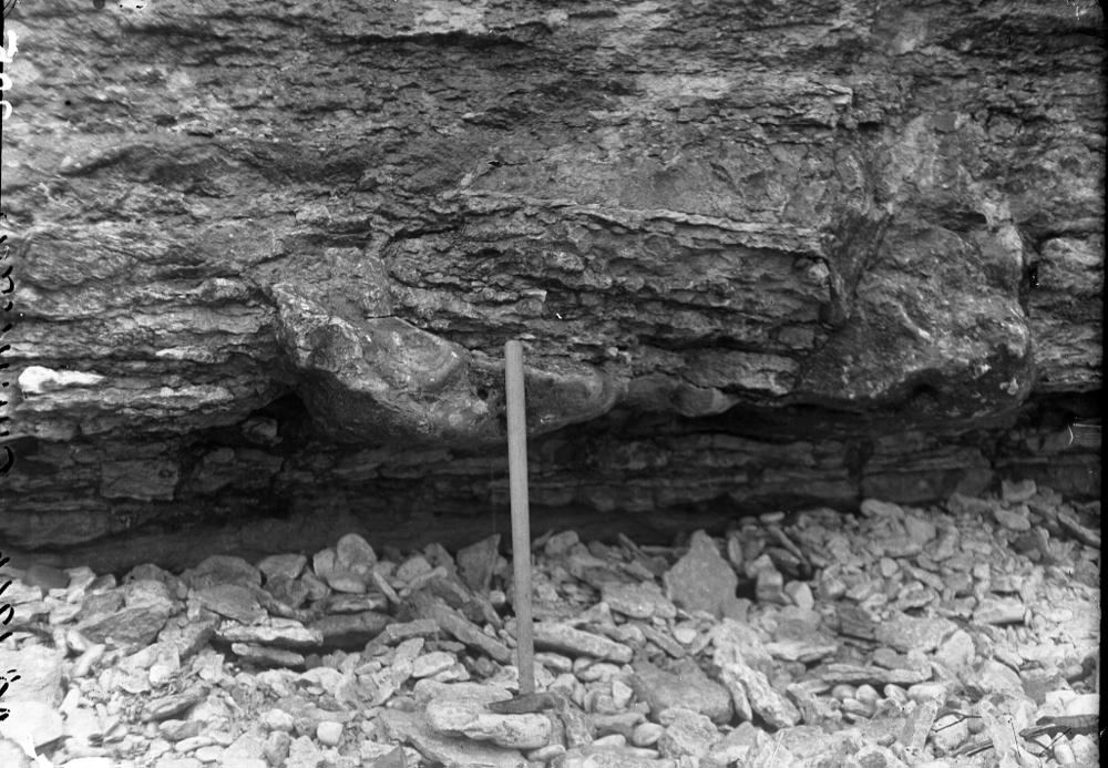
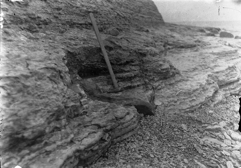
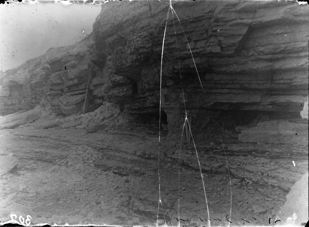
| Strat. top | Uhaku Stage |
| Strat. base | Volkhov Stage |
| Date changed | 2019-03-01 |
Browse Geocollections
Partners


This site uses Matomo to analyze traffic and help us to improve your user experience. We process your IP address, viewed pages, load times and device information. This data is only processed by us.