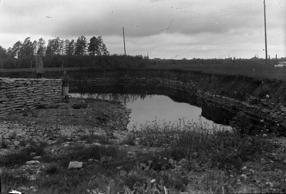
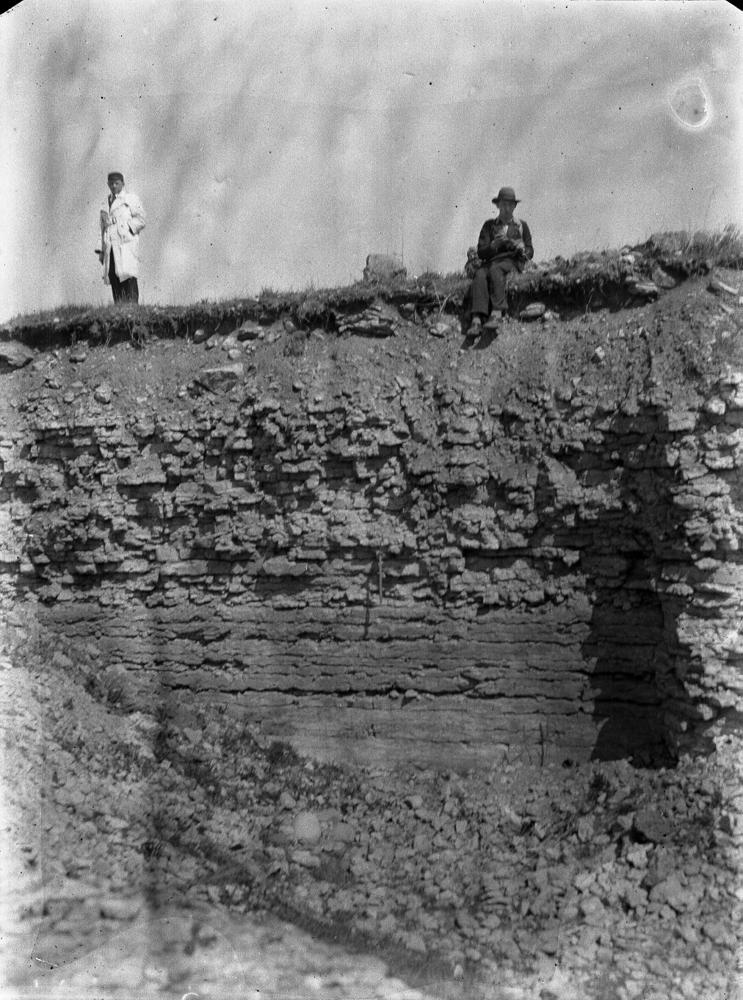
| Name | Rägavere quarry |
| Type | outcrop |
| Country | Estonia |
| Parish | RAKVERE |
| Coordinates | 59.3377, 26.394192 |
| Coordinate precision | 10-100 m |
| Coord. method | Est Land Board map server |
| Coord. agent | Aaloe, Aasa |
| Location remarks | Rakvere linna kagu/(lõuna-)serval 150 m Rakvere-Vetiku teest kirdes Paemurru tee ääres, teest ida pool talu taga. Rägavere kihistu (Rakvere lademe) holostratotüüp (Vinni alamladestik, Ordoviitsiumi ladestu). |
| Strat. top | Rakvere Stage |
| Strat. base | Rakvere Stage |
| Remarks | Vana stratotüüpne paemurd, siit sai Rakvere lade oma nime. Rägavere murd on enam-vähem Ussimäe paljandi profiili jätk ülesse. T. Meidla revisjon 2014:Rakvere lademe ja Rägavere kihistu stratotüüp; paljand mattub, tuleks puhastada. |
| Date changed | 2024-12-12 |
Browse Geocollections
Partners


This site uses Matomo to analyze traffic and help us to improve your user experience. We process your IP address, viewed pages, load times and device information. This data is only processed by us.