| Name | Oandu River outcrops |
| Type | outcrop |
| Country | Estonia |
| Parish | Maidla |
| Settlement | Oandu |
| Coordinates | 59.265742, 27.001994 |
| Coordinate precision | 10-100 m |
| Coord. method | Est Land Board map server |
| Coord. agent | Aaloe, Aasa |
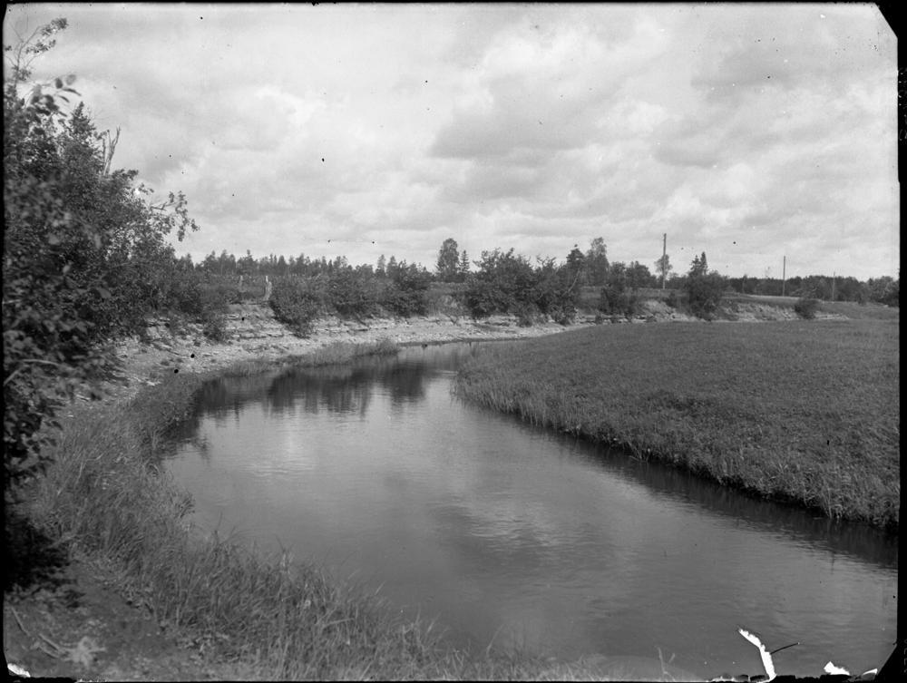
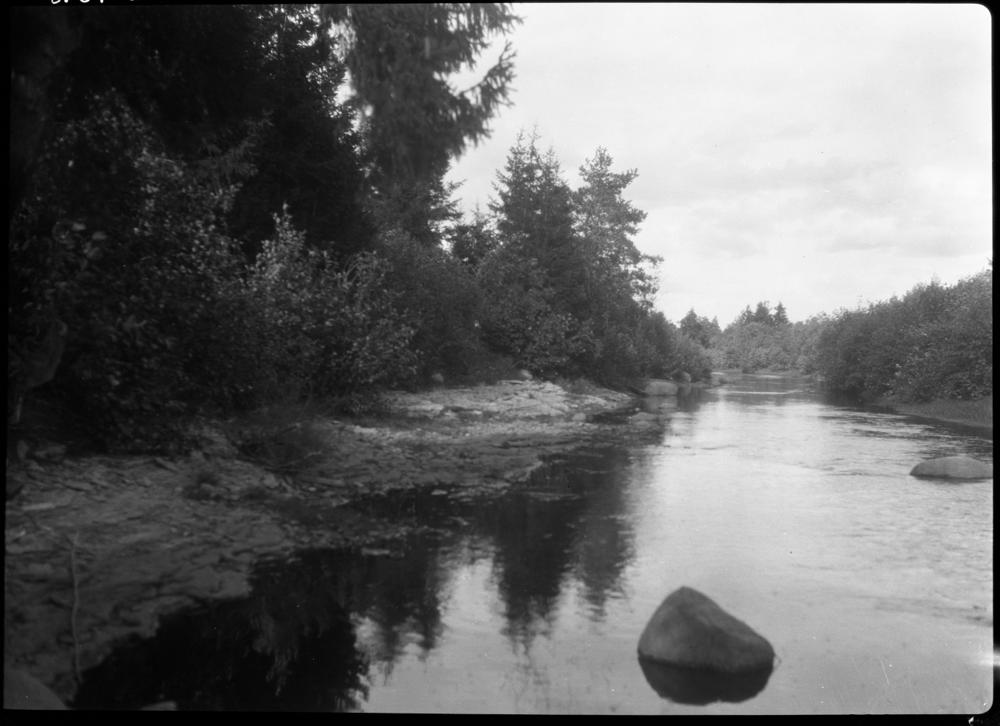
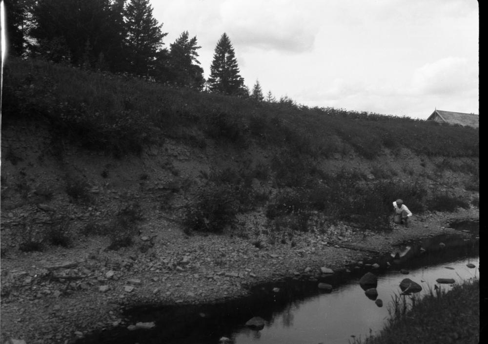
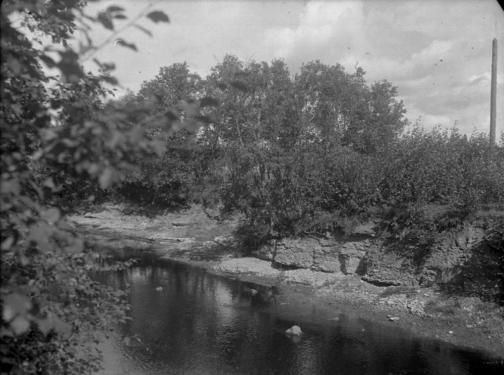
| Location remarks | Paljandid Oandu jõe mõlemal kaldal ca 1 km lõigul Rebu külla viiva tee sillast ülesvoolu. Rebu silla koordinaadid. Oandu jõe kaldapaljand - Oandu lademe (DIII; O3nb) holostratotüüp (Vinni alamladestik, Katy lade, Ordoviitsiumi ladestu); |
| Strat. top | Rakvere Stage |
| Strat. base | Oandu Stage |
| Remarks | Oandu lademe stratotüüp |
| Date changed | 2023-01-06 |
Browse Geocollections
Partners


This site uses Matomo to analyze traffic and help us to improve your user experience. We process your IP address, viewed pages, load times and device information. This data is only processed by us.