
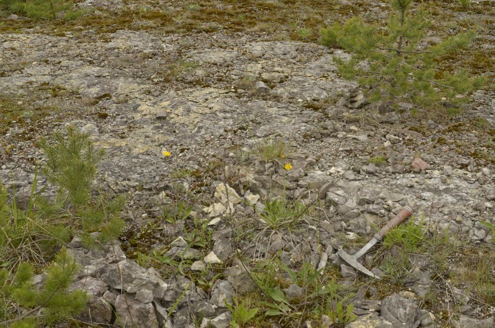
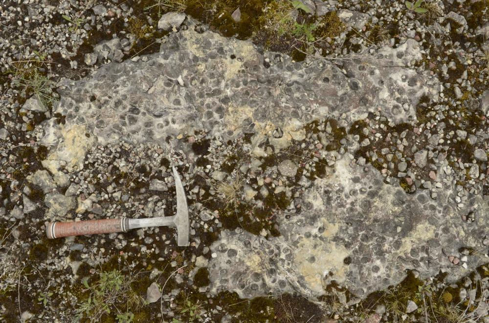
| Name | Kõrgessaare, bottom of the gravel pit |
| Type | outcrop |
| Country | Estonia |
| Parish | Kõrgessaare |
| Depth | 1 |
| Coordinates | 58.991944, 22.441944 |
| Coordinate precision | 10-100 m |
| Coord. method | GPS |
| Coord. agent | Aaloe, Aasa |
| Location remarks | Kõrgessaarest ~2 km loode pool. Kruusakarjäär Ninametsa ps tipus. Karjääri põhjas paljandub Nabala lademe Saunja kihistu lbk |
| Strat. top | Nabala Stage |
| Strat. base | Nabala Stage |
| Remarks | Käesoleval ajal on juba võimaliku lubjakivikarjäärina arvel |
| Date changed | 2022-07-02 |
Browse Geocollections
Partners


This site uses Matomo to analyze traffic and help us to improve your user experience. We process your IP address, viewed pages, load times and device information. This data is only processed by us.