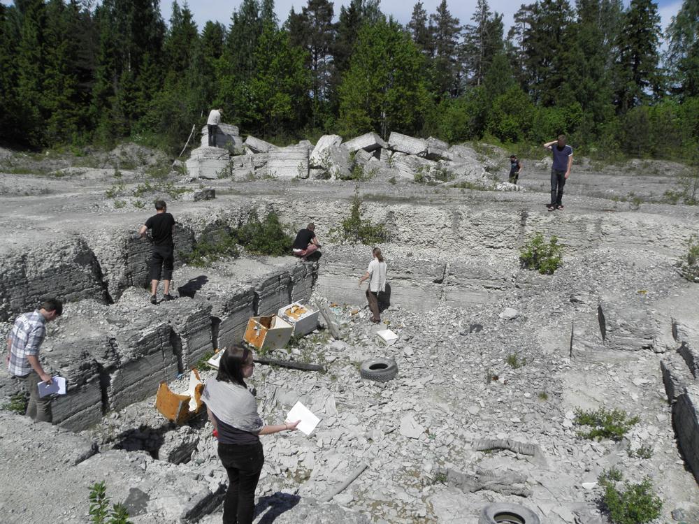
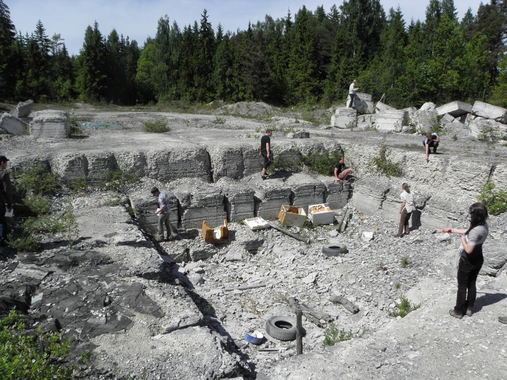
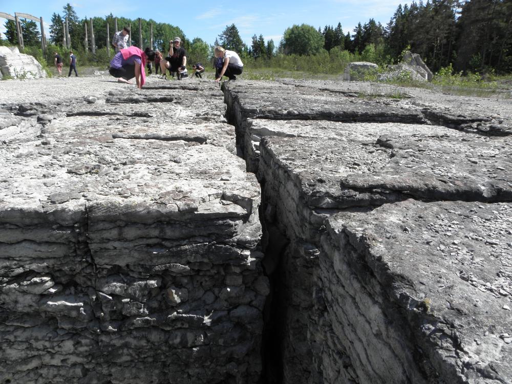
| Name | Paekna quarry |
| Type | outcrop |
| Country | Estonia |
| Parish | Kiili |
| Settlement | Paekna |
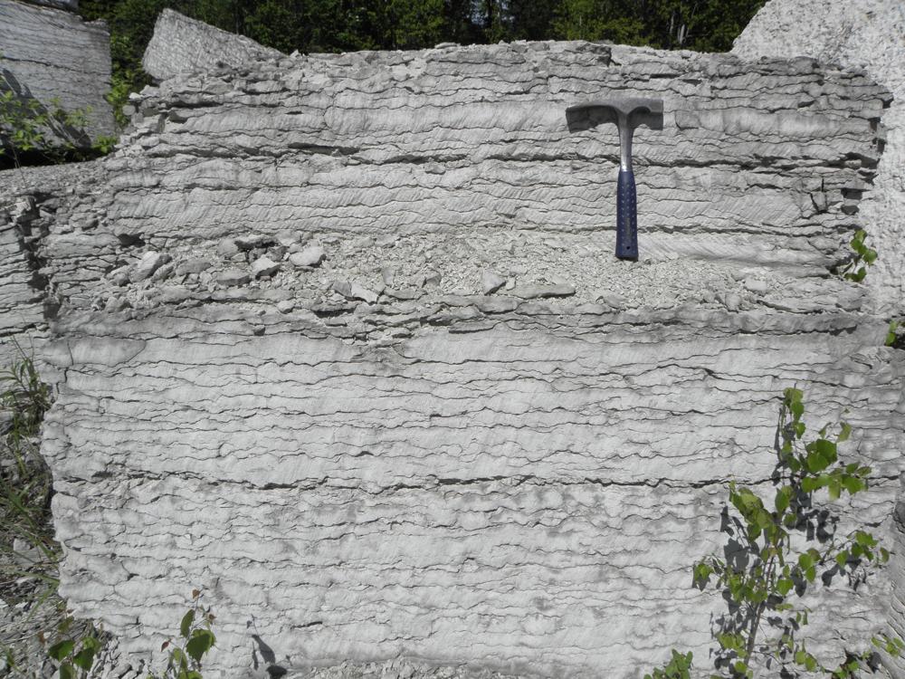
| Depth | 3.1 |
| Coordinates | 59.266378, 24.802642 |
| Coordinate precision | 10-100 m |
| Coord. method | Est Land Board map server |
| Coord. agent | Aaloe, Aasa |
| Location remarks | Tallinn-Viljandi mnt-lt Tõdva kohalt 3,5 km ida pool, Tõdva-Nabala teest ca 150 m põhja pool. Suuroja et al., 2012: Sookaera lubjakivimaardla asub Harju maakonnas Kiili vallas Tõdva–Nabala teest vahetult põhja pool. Pindala 1,47 ha (Vingisaar 1991). |
| Strat. top | Nabala Stage |
| Strat. base | Rakvere Stage |
| Remarks | Paekna kihistiku tüüpläbilõige (Jaanusson, 1944); Paekna kihistu stratotüüp (Rõõmusoks, 1966); H. Nestor jt 1987. a aruanne - käesoleval ajal ei paljandu |
| Date changed | 2021-02-12 |
Browse Geocollections
Partners


This site uses Matomo to analyze traffic and help us to improve your user experience. We process your IP address, viewed pages, load times and device information. This data is only processed by us.