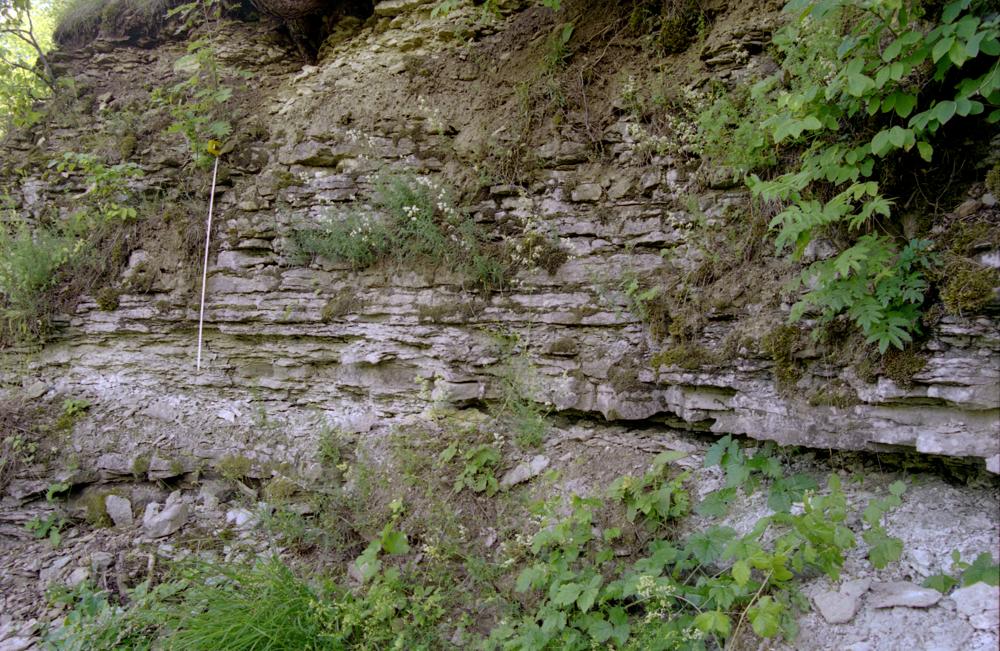
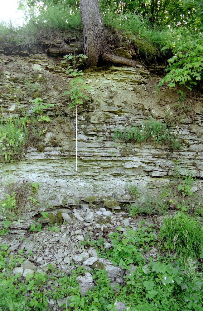
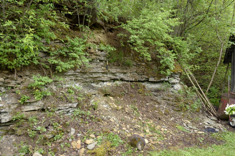
| Name | Saku quarry |
| Type | outcrop |
| Country | Estonia |
| Parish | Saku |
| Settlement | Saku |
| Depth | 3.5 |
| Elevation | 48.00 |
| Coordinates | 59.299934, 24.646433 |
| Coordinate system | EPSG:3301 |
| X | 6573704 |
| Y | 536829 |
| Coordinate precision | 1-10 m |
| Coord. method | Est Land Board map server |
| Coord. agent | Hints, Olle |
| Location remarks | Saku alevikust läänes Saku-Laagri tee ääres Pähklimäe-II kinnistu vahetus läheduses. Stratotüüp |
| Strat. top | Oandu Stage |
| Strat. base | Oandu Stage |
| Remarks | R.M. 1950:Saku faatsiese tüüplokaliteet. Paemurd tuntud Schmidti-aegadest. |
| Date changed | 2018-03-28 |
Browse Geocollections
Partners


This site uses Matomo to analyze traffic and help us to improve your user experience. We process your IP address, viewed pages, load times and device information. This data is only processed by us.