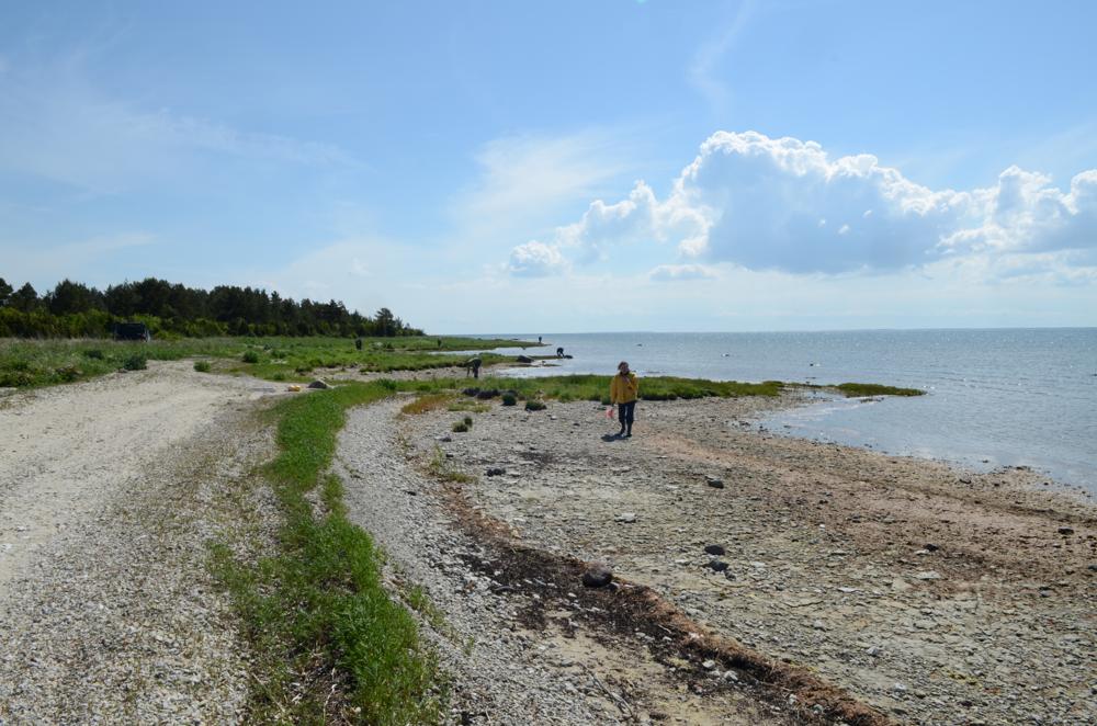
| Name | Hosholm shore |
| Type | outcrop |
| Country | Estonia |
| Parish | Vormsi |
| Settlement | Suuremõisa |
| Coordinates | 58.963019, 23.162005 |
| Coordinate precision | 100-1000 m |
| Coord. method | GPS |
| Coord. agent | Aaloe, Aasa |
| Location remarks | Hosholmi ps lääneranna koordinaadid. |
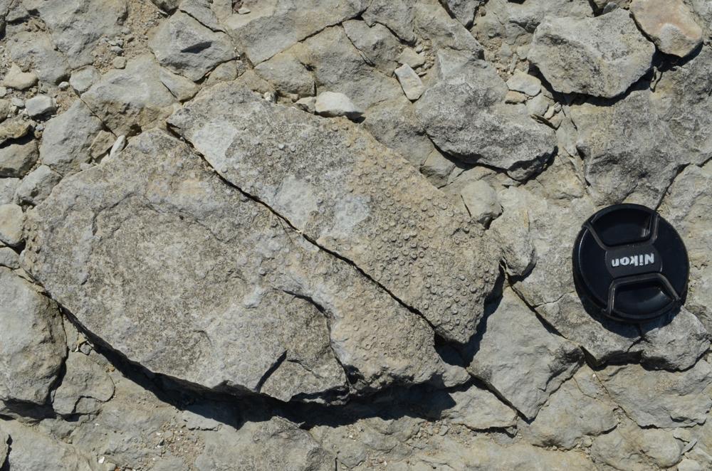
| Strat. top | Pirgu Stage |
| Strat. base | Pirgu Stage |
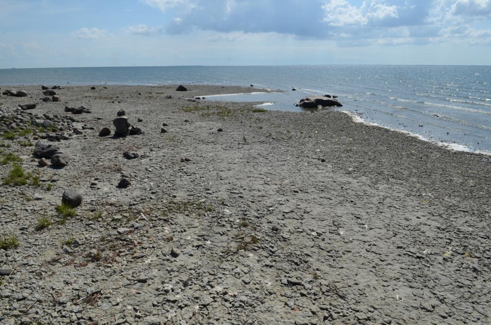
| Remarks | Madala veeseisu puhul paljandub aluspõhjakivimeid ligi 0,5 km lõigul. 2012. a - nime Hosholm tänapäevastel kaartidel ei kasutata, on Suuremõisa ps (Mõisaholm) ja selle rand |
| Date changed | 2023-11-02 |
Browse Geocollections
Partners


This site uses Matomo to analyze traffic and help us to improve your user experience. We process your IP address, viewed pages, load times and device information. This data is only processed by us.