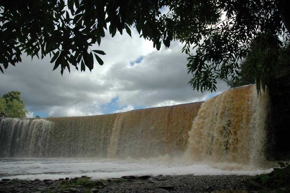


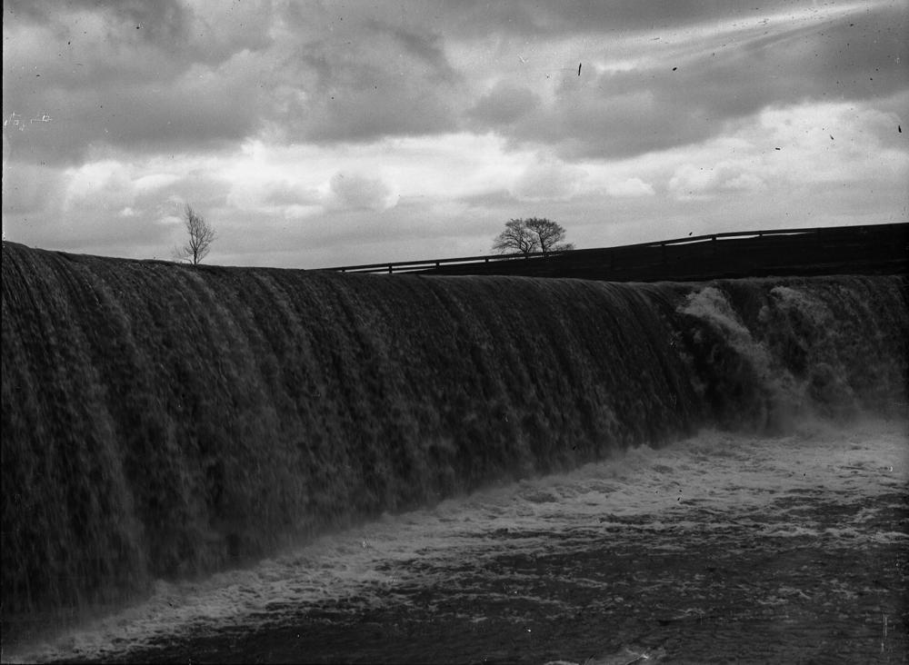
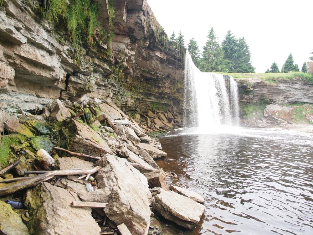
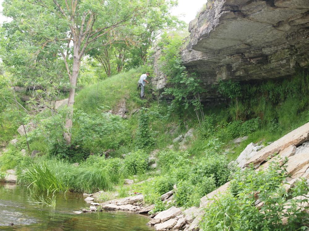

| Name | Jägala waterfall |
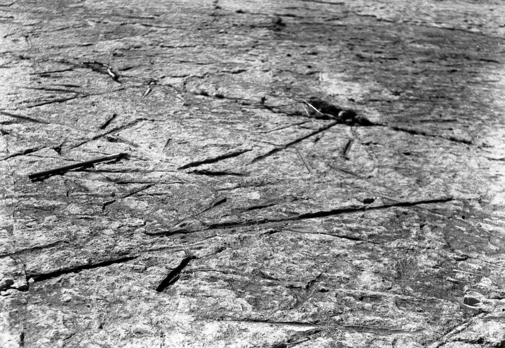
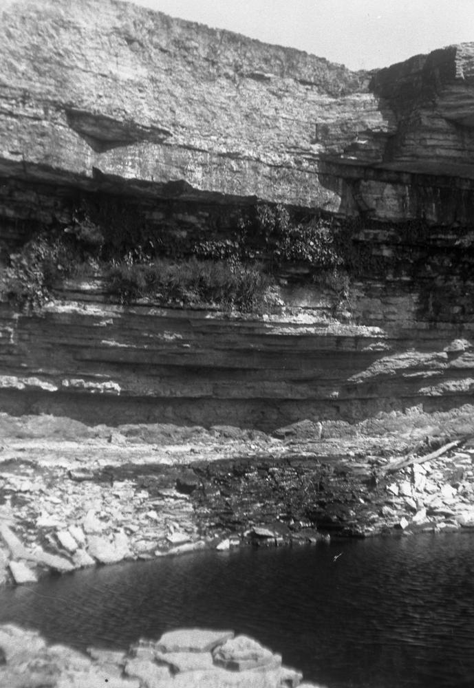
| Type | outcrop |
| Country | Estonia |
| Parish | Jõelähtme |
| Settlement | Jägala-Joa |
| Depth | 7.5 |
| Coordinates | 59.450055, 25.178605 |
| Coordinate precision | 10-100 m |
| Coord. method | map |
| Coord. agent | Hints, Olle |
| Location remarks | Jägala juga Jägala jõel - Koogi külast 1 km põhja pool. Joa laius 60-70 m, kõrgus 7,5-8 m |
| Strat. top | Aseri Stage |
| Strat. base | Pakerort Stage |
| Date changed | 2023-07-05 |
Browse Geocollections
Partners


This site uses Matomo to analyze traffic and help us to improve your user experience. We process your IP address, viewed pages, load times and device information. This data is only processed by us.