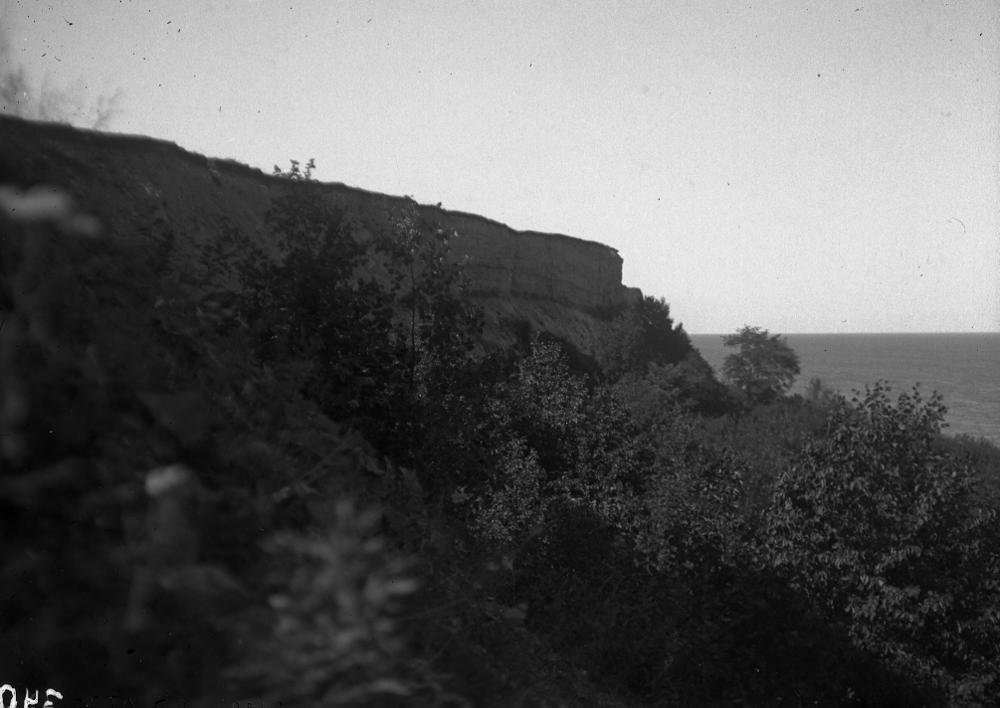
| Name | Aseri cliff |
| Type | outcrop |
| Country | Estonia |
| Parish | Aseri |
| Coordinates | 59.471606, 26.843019 |
| Coord. method | Est Land Board map server |
| Coord. agent | Aaloe, Aasa |
| Location remarks | Aseri paekalda paljandiks loetakse paljandit klindil endise paemurru kohal, kus asus piirivalve lasketiir |
| Strat. top | Leetse Formation |
| Strat. base | Tiskre Formation |
| Date changed | 2018-11-20 |
Browse Geocollections
Partners


This site uses Matomo to analyze traffic and help us to improve your user experience. We process your IP address, viewed pages, load times and device information. This data is only processed by us.