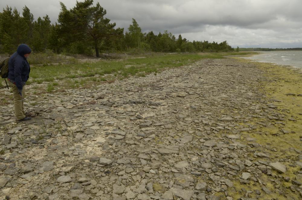

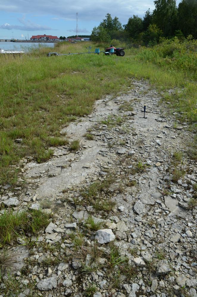
| Name | Hiiumaa east shore |
| Type | outcrop |
| Country | Estonia |
| Parish | Pühalepa |
| Coordinates | 58.874294, 23.029897 |
| Coordinate precision | 100-1000 m |
| Coord. method | Est Land Board map server |
| Coord. agent | Aaloe, Aasa |
| Location remarks | Vahtrepa ja Heltermaa vahel on soine loopealne. LP: 1986. aastal Vahtrepa küla pool rannal Ordoviitsiumi rändpangased, mis sisaldasid kivistisi põhiliselt Porkuni ja ka Pirgu (Adila) lademest. |
| Strat. base | Juuru Stage |
| Remarks | A.A. 1955 kirjeldab 4 Vahtrapää paljandit |
| Date changed | 2025-10-30 |
Browse Geocollections
Partners


This site uses Matomo to analyze traffic and help us to improve your user experience. We process your IP address, viewed pages, load times and device information. This data is only processed by us.