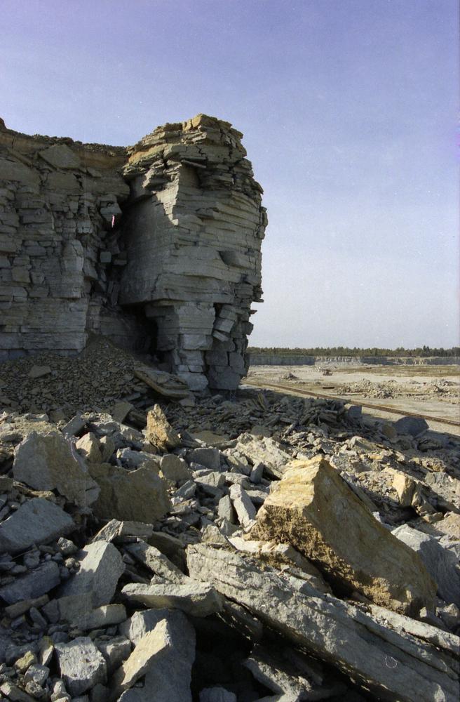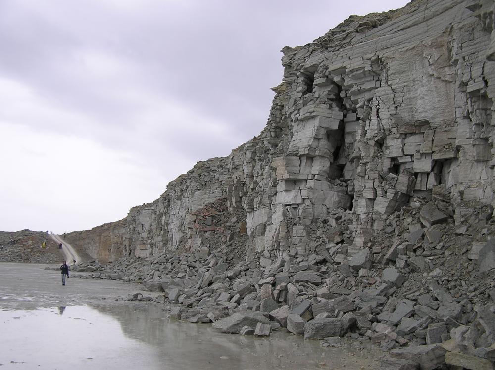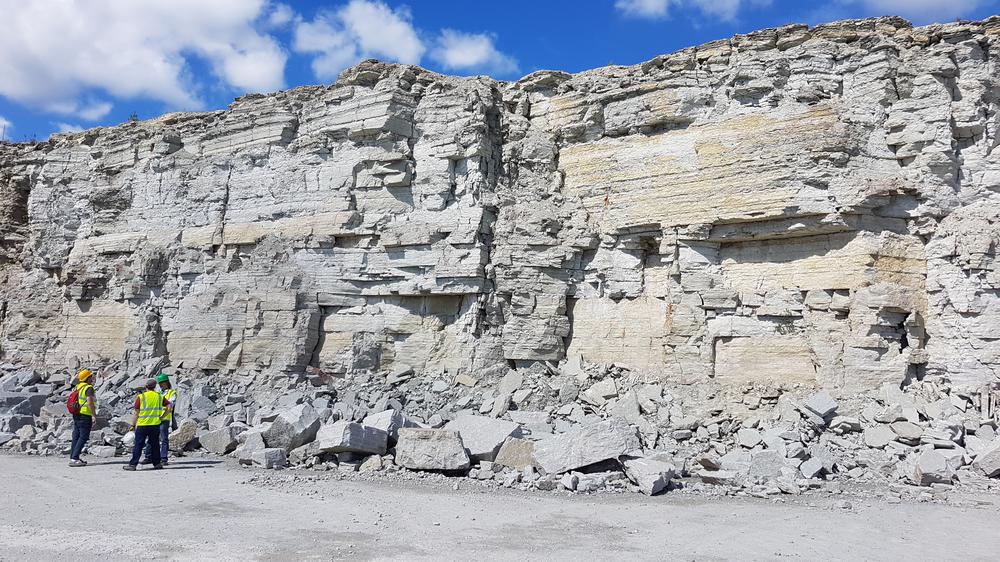


| Name | Aru-Lõuna (Kunda-Aru) quarry |
| Type | surface mine |
| Country | Estonia |
| Parish | Viru-Nigula |
| Coordinates | 59.444063, 26.479414 |
| Coord. method | Est Land Board map server |
| Coord. agent | Aaloe, Aasa |
| Location remarks | Asub Haljala-Kunda mnt-st ida pool, Kunda linnast ca 5 km lõunas. Karjääri keskosa koordinaadid. Kunda lademe (BIII; O2kn) holostratotüüp (Ontika alamladestik, Darriwili lade, Ordoviitsiumi ladestu) |
| Strat. top | Uhaku Stage |
| Strat. base | Aseri Stage |
| Remarks | On Kunda lubjakivimaardla osa. Aktiivne karjäär (2014). Tootmist alustati 1960-ndate alguses Kunda tsemenditehase tarbeks, kaevandatakse ka ehituslubjakivi |
| Date changed | 2025-03-15 |
Browse Geocollections
This site uses Matomo to analyze traffic and help us to improve your user experience. We process your IP address, viewed pages, load times and device information. This data is only processed by us.


