| Name | Kurisu sinkhole outcrop |
| Type | outcrop |
| Country | Estonia |
| Parish | Kõrgessaare |
| Settlement | Kurisu |
| Coordinates | 58.962389, 22.556681 |
| Coordinate precision | 10-100 m |
| Coord. method | Est Land Board map server |
| Coord. agent | Aaloe, Aasa |
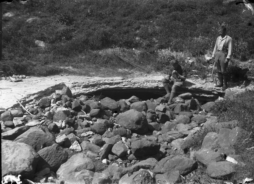
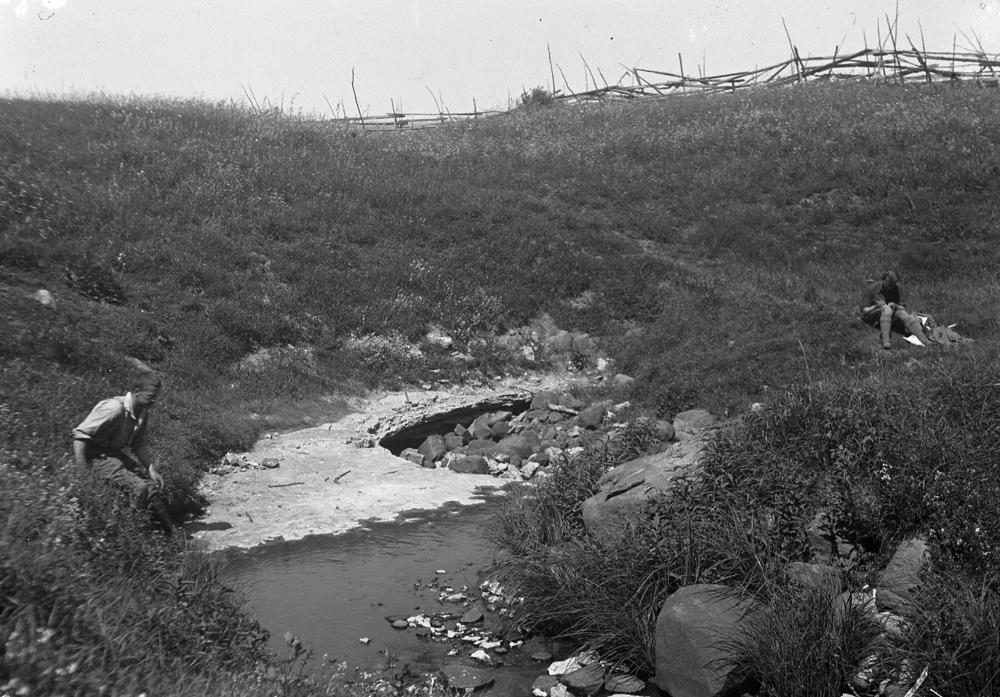
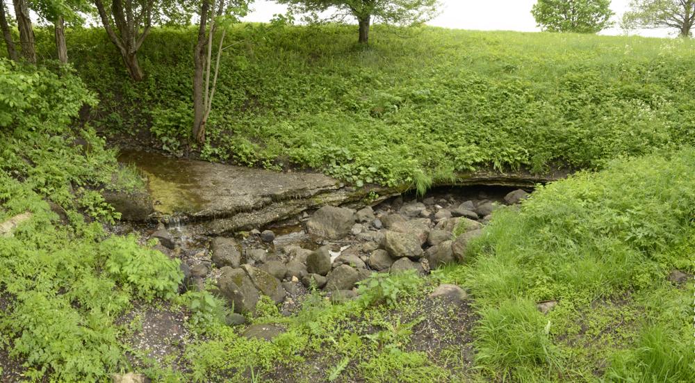
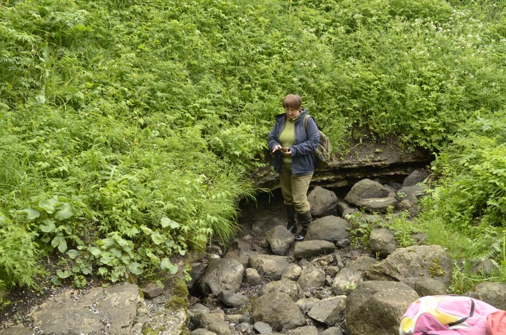
| Location remarks | Neeluauk asub Kurisu küla põhjaosas Sülla talu juures metsa serval. Siin kaob maa alla Kurisu oja |
| Strat. top | Pirgu Stage |
| Strat. base | Pirgu Stage |
| Remarks | Kurisu mõõtmed: laius 30 m , sügavus 6 m. Kurisu põhjas paljandub Pirgu lade ca 1 m paksuses |
| Date changed | 2018-03-28 |
Browse Geocollections
Partners


This site uses Matomo to analyze traffic and help us to improve your user experience. We process your IP address, viewed pages, load times and device information. This data is only processed by us.