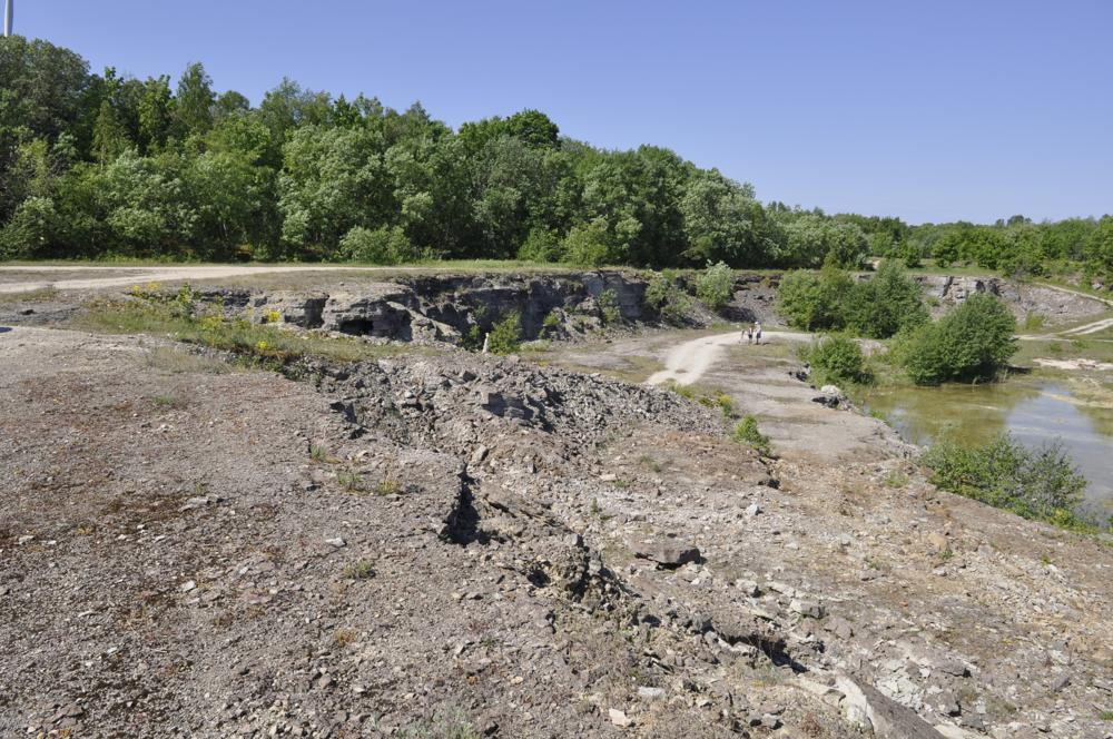
| Name | Testepere Quarry |
| Type | outcrop |
| Country | Estonia |
| Parish | PALDISKI |
| Coordinates | 59.384897, 24.058294 |
| Coordinate precision | 100-1000 m |
| Coord. method | Est Land Board map server |
| Coord. agent | Aaloe, Aasa |
| Strat. top | Uhaku Stage |
| Strat. base | Lasnamägi Stage |
| Date added | 2012-06-19 |
| Date changed | 2012-06-19 |
Browse Geocollections
Partners

