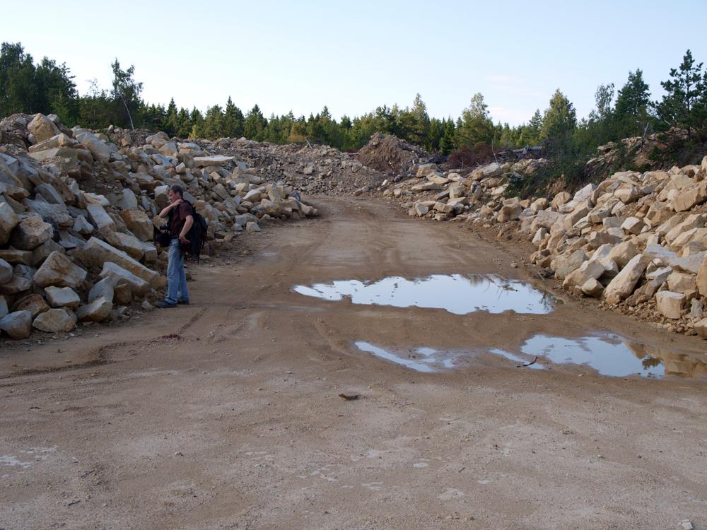


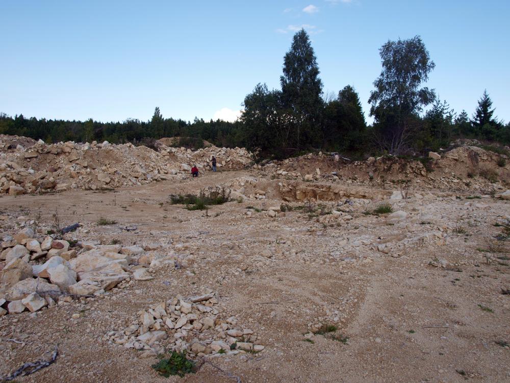
| Name | Selgase quarry |
| Type | outcrop |
| Country | Estonia |
| Parish | Mustjala |
| Settlement | Selgase |
| Coordinates | 58.431078, 22.182191 |
| Coordinate precision | 10-100 m |
| Coord. method | Est Land Board map server |
| Coord. agent | Aaloe, Aasa |
| Strat. top | Jaagarahu Stage |
| Strat. base | Jaagarahu Stage |
| Date added | 2003-10-30 |
| Date changed | 2019-02-02 |
Browse Geocollections
Partners

