


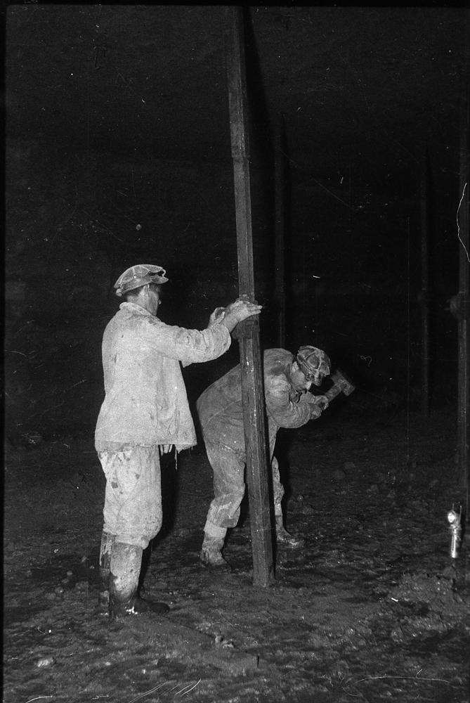


| Name | Ahtme mine |
| Type | underground mine |
| Country | Estonia |
| Parish | Jõhvi |
| Settlement | Ahtme |
| Coordinates | 59.315833, 27.465556 |
| Coordinate precision | 100-1000 m |
| Coord. method | Est Land Board map server |
| Coord. agent | Reinsalu, Enno |
| Date added | 2003-05-29 |
| Date changed | 2018-04-20 |
Browse Geocollections
Partners

