


| Name | Kaarma dolostone quarry |
| Type | outcrop |
| Country | Estonia |
| Parish | Kaarma |
| Settlement | Saia |
| Coordinates | 58.335917, 22.476631 |
| Coordinate system | EPSG:3301 |
| X | 6467162 |
| Y | 410776 |
| Coordinate precision | 1-10 m |
| Coord. method | Est Land Board map server |
| Coord. agent | Hints, Olle |
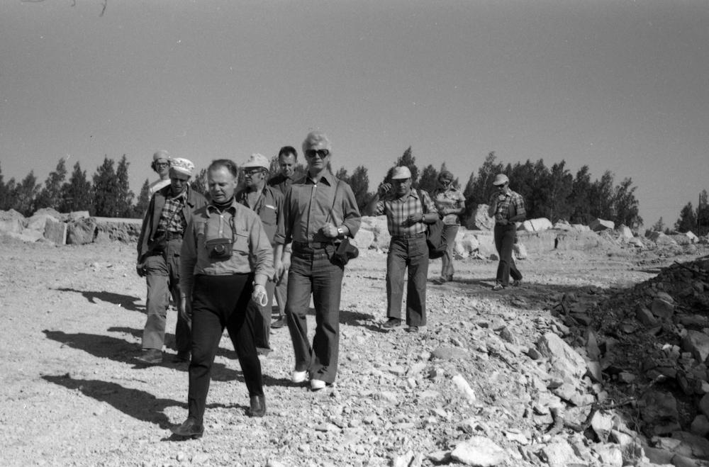
| Location remarks | The Kaarma quarry is located 12 km north of the town of Kuressaare, next to the Uduvere –Saia road. |
| Strat. top | Paadla Stage |
| Strat. base | Paadla Stage |
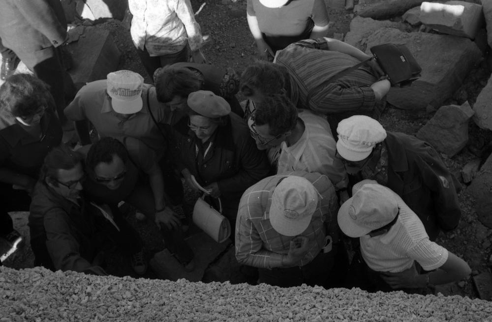
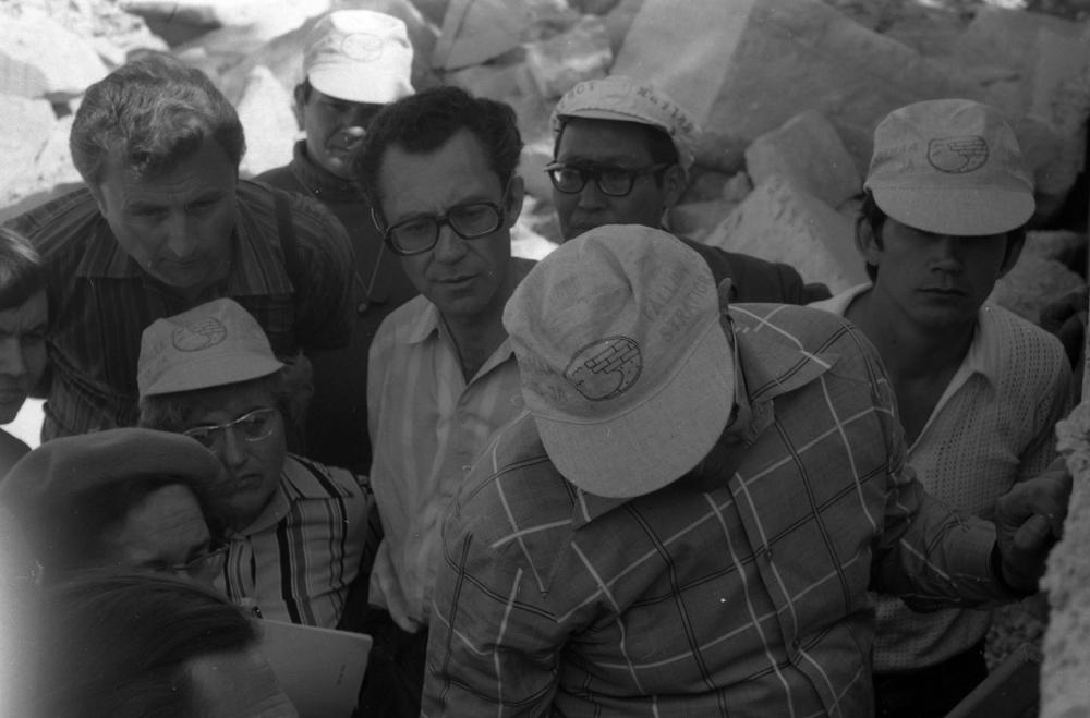
| Remarks | Field Meeting, 1990. Loc 7 : 1. Toodetakse kergesti töödeldavat viimistlusdolokivi. Kivi on kasutatud üle 700 aasta, tööstuslik kaevandamine algas 1958. a. Tänapäeval toodab Saare Dolomiit-Väokivi OÜ. Field Meeting, 1990. Loc 7 : 1. An easily processed finishing dolostone is produced. The stone has been used for over 700 years, industrial mining began in 1958. Nowadays Saare Dolomiit-Väokivi OÜ) |
| Date added | 2002-08-13 |
| Date changed | 2024-02-28 |
Browse Geocollections
Partners

