


| Name | Iru outcrop |
| Type | outcrop |
| Country | Estonia |
| Parish | TALLINN |
| Coordinates | 59.459819, 24.905064 |
| Coordinate system | EPSG:3301 |
| X | 6591684 |
| Y | 551323 |
| Coordinate precision | 1-10 m |
| Coord. method | Est Land Board map server |
| Coord. agent | Hints, Olle |
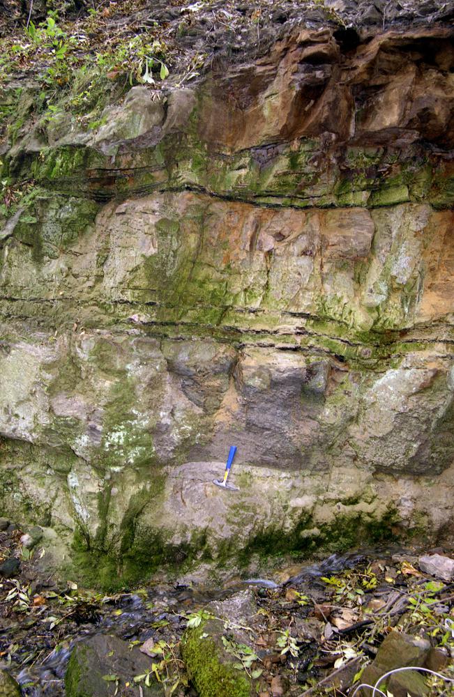
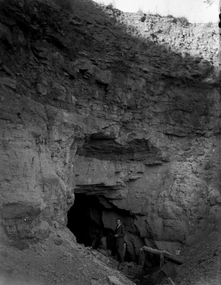
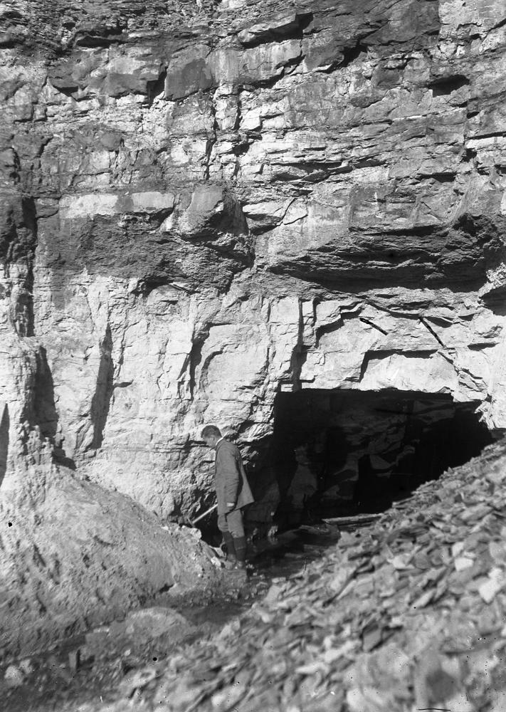
| Location remarks | Pirita jõe paremal kaldal Iru külas. I maailmasõja ajal rajati stoll, mille suudmes oli hea Pakerordi lademe (Maardu k) paljand. EÜR-s on Iru paljand märgitud Narva mnt ja Pärnamäe tee ristumiskohast ca 100 m lõuna poole |
| Strat. top | Aseri Stage |
| Strat. base | Pakerort Stage |
| Date added | 2001-03-29 |
| Date changed | 2019-01-30 |
Browse Geocollections
Partners


This site uses Matomo to analyze traffic and help us to improve your user experience. We process your IP address, viewed pages, load times and device information. This data is only processed by us.