

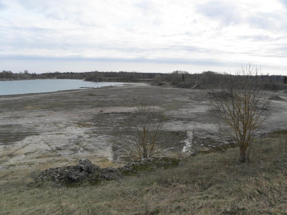

| Name | Kamariku quarry |
| Type | outcrop |
| Country | Estonia |
| Parish | Rakke |
| Coordinates | 59.022178, 26.271417 |
| Coordinate precision | 100-1000 m |
| Coord. method | Est Land Board map server |
| Coord. agent | Aaloe, Aasa |
| Location remarks | Rakke asulast põhjas, raudtee ja Rakke-Väike-Maarja mnt. vahel, s.o. raudteest idas |
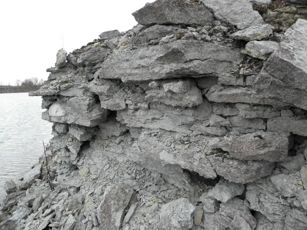
| Strat. top | Juuru Stage |
| Strat. base | Juuru Stage |
| Remarks | borealis-lubjakivi 4,5 m paksuses |
| Date changed | 2018-03-28 |
Browse Geocollections
Partners

