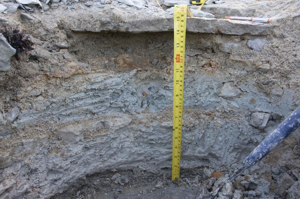
| Nimi | Põõsaspea pank, Kinnekulle bentoniidi paljand |
| Tüüp | paljand |
| Riik | Eesti |
| Vald | Noarootsi |
| Asutusüksus | Spithami / Spithamn küla |
| Koordinaadid | 59.224264, 23.527978 |
| Kordinaatsüsteem | L-EST |
| X | 6565191 |
| Y | 473047 |
| Koordinaatide täpsus | 1-10 m |
| Koord. meetod | Maa-ameti kaardiserver |
| Koord. määraja | Hints, Olle |
| Asukoha kirjeldus | rannikuäärse metsatuka alguses (N-S suunal) |
| Strat. algus | Keila lade |
| Strat. lõpp | Jõhvi alamlade |
| Lisainfo | NB! see ei ole üldine Põõsaspea panga kirje, vaid täpne asukoht (O. Hints, 2010-08-31). |
| Kirje lisatud | 2008-07-13 |
| Kirje muudetud | 2012-06-13 |
Sirvi e-Maapõues
Partnerid


See lehekülg kasutab Matomo, et analüüsida liiklust ja aidata meil lehekülje kasutajakogemust parandada. Me töötleme teie IP aadressi, vaadatud lehti, laadimisaegu ja seadme informatsiooni. Neid andmeid töötleme ainult meie.