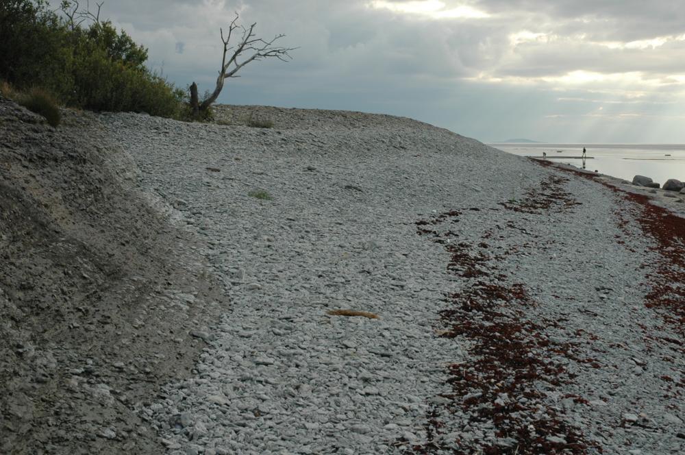
| Nimi | Hälluddeni pank, Öland |
| Tüüp | paljand |
| Riik | Rootsi |
| Koordinaadid | 57.34982, 17.03167 |
| Koordinaatide täpsus | 10-100 m |
| Koord. meetod | GPS |
| Koord. määraja | Hints, Olle |
| Asukoha kirjeldus | The outcrop extends for 2 km along the shore. |
| Strat. algus | Valaste alamlade |
| Strat. lõpp | Langevoja alamlade |
| Lisainfo | No hammering! |
| Kirje lisatud | 2004-09-14 |
| Kirje muudetud | 2014-09-17 |
Sirvi e-Maapõues
Partnerid


See lehekülg kasutab Matomo, et analüüsida liiklust ja aidata meil lehekülje kasutajakogemust parandada. Me töötleme teie IP aadressi, vaadatud lehti, laadimisaegu ja seadme informatsiooni. Neid andmeid töötleme ainult meie.